
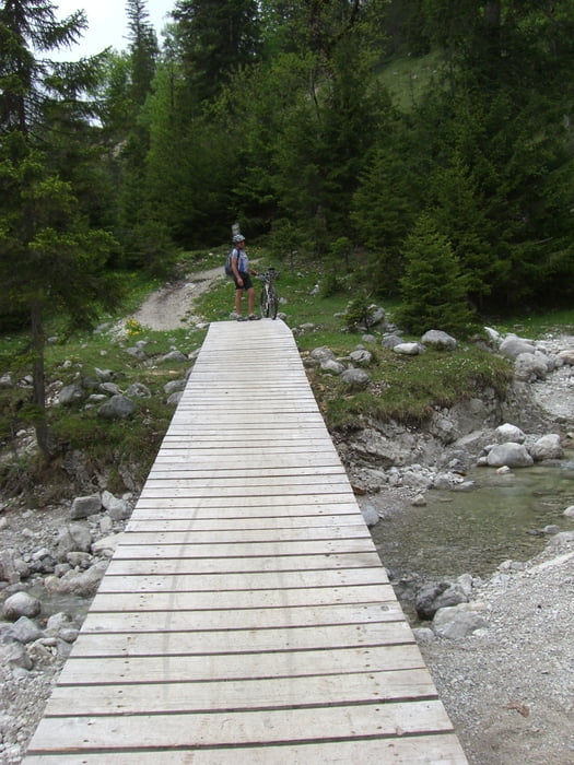

Super Tour von Eschenlohe durchs Eschenlainetal nach Wallgau. Von dort Auffahrt Richtung Esterbegalm. Kurz vor der Filzbachalm geht es rechts hoch Richtung Krüneralm. Unbedingt den Schlenker mitnehmen, es ist ein super Trail zum runterhämmern über Holzbrücken...
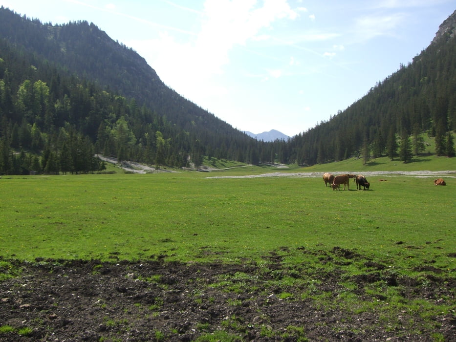
Anschließend geht es vorbei an der Filzbachalm hoch zur Esterbergalm, von wo aus man einen super Bilck auf den Wank genießen kann.
Anschließend geht es runter zum Wankparkplatz und dann weiter auf dem Höhenweg nach Farchant.
Der Weg führt entlang der Loisach zurück nach Eschenlohe.
Further information at
http://www.bergradl.ccTour gallery

Tour map and elevation profile
Minimum height 618 m
Maximum height 1412 m
More about the tour author
|
|
Bergradl |
Comments
A95 Richtung Garmisch, Asufahrt Eschenlohe, Parkplatz bei der Kirche nutzen.
GPS tracks
Trackpoints-
GPX / Garmin Map Source (gpx) download
-
TCX / Garmin Training Center® (tcx) download
-
CRS / Garmin Training Center® (crs) download
-
Google Earth (kml) download
-
G7ToWin (g7t) download
-
TTQV (trk) download
-
Overlay (ovl) download
-
Fugawi (txt) download
-
Kompass (DAV) Track (tk) download
-
Track data sheet (pdf) download
-
Original file of the author (gpx) download
More about the tour author
|
|
Bergradl |
Add to my favorites
Remove from my favorites
Edit tags
Open track
My score
Rate
Great route