Login

Forgot your login?

Cookies have to be accepted!
Your browser's cookie functionality is disabled. Please enable this functionality.

Not a member yet?

Register now
Login

Available for registred users only

Log in to use this feature.

Forgot your login?

Cookies have to be accepted!
Your browser's cookie functionality is disabled. Please enable this functionality.

Not a member yet?

Register now
Filter
Categories
Advanced filters
  • Distance (km)
  • Height
Save filters Reset filter

TrackRank

QRCode

Technical data

Distance28,7 km Height755 m Way down747 m Duration02:30 h:m Date01.06.2009
Scores Author User Landscape Fun factor Fitness Technique

Statistics

1976 Views 2 Scores 275 Downloads 3.50 Average
Rate
  • Track data sheet
  • Directions
  • Downloads

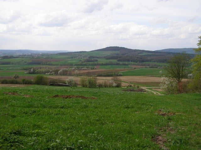
Nette, abwechslungsreiche Trainingsrunde in schöner Landschaft:

  • Eggolsheim
  • Kauernhofen
  • Kauernhofener Berg
  • Abfahrt Rettern
  • Wasserhäusla
  • Niedermirsberg
  • Sternwarte Feuerstein
  • Vexierkapelle
  • Retterner Kanzel
  • ... und Waldweg hoch
  • Kreuzweg Downhill
  • Kauernhofen
  • Eggolsheim


Tour gallery

Tour map and elevation profile

  • Open Street Map
  • Google
Minimum height 268 m Maximum height 516 m Detailed view

More about the tour author

DrMountainBIKE
Member since 2009

Send private message

Comments

mobler on 27.06.2009

die test ich demnächst mal :-)

hab ja nur eine kurze Anreise aus Hirschaid...
rossifumi on 02.08.2009

schöne anstiege

Schöne Tour, mit den steilsten Rampen da in der Gegend. :-)))

Gruß
Rosiifumi
Mit dem Auto bis Kauernhofen und los gehts.

GPS tracks

Trackpoints
  • GPX / Garmin Map Source (gpx) download
  • TCX / Garmin Training Center® (tcx) download
  • CRS / Garmin Training Center® (crs) download
  • Google Earth (kml) download
  • G7ToWin (g7t) download
  • TTQV (trk) download
  • Overlay (ovl) download
  • Fugawi (txt) download
  • Kompass (DAV) Track (tk) download
  • Track data sheet (pdf) download
  • Original file of the author (gpx) download

More about the tour author

DrMountainBIKE
Member since 2009

Send private message
Share track
Add to my favorites
Remove from my favorites
Edit tags
My score
Rate
Track: special Trainings-Trail
Type: Mountain bike
Distance: 28,7 km
Evaluated on:
Duration:
Day(s)
Hour(s)
Minute(s)
Score: Landscape Fun factor Fitness Technique