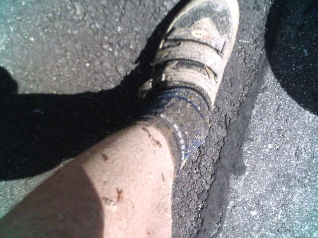
Genialer Track - vor allem für routinierte "Nichtsonntagsfahrer".
Satte Anstiege und geniale Abfahrten sowie manch spektkuläre Abstiege ;)
Also Vorsicht beim Biken, vorallem im Wald lauern gefahren, nicht nur des Jägers Gewehrkugeln, Braunbären und tonnenschwere Traktoren sondern auch extreme Abfahrten bei teils sehr hohem Tempo sorgen für den besoneren Kick. Damit's keinen Knick in der Rippe gibt, besser mit Hirn, ner mortz Portion Mut oder gar nicht fahren!!!
Auch landschaftlich gibt die Runde über kleine Umwege (Burg Seebenstein & Türkensturz) nette Sehenswürdigkeiten her.
PS: Ohne GPS-Navi ist die Runde nicht zu finden.
Further information at
http://www.seebenstein.at/Tour map and elevation profile
Minimum height 305 m
Maximum height 589 m
Comments

Abfahrt A2 Seebenstein.
Parkplatz Ortsmitte
Parkplatz Ortsmitte
GPS tracks
Trackpoints-
GPX / Garmin Map Source (gpx) download
-
TCX / Garmin Training Center® (tcx) download
-
CRS / Garmin Training Center® (crs) download
-
Google Earth (kml) download
-
G7ToWin (g7t) download
-
TTQV (trk) download
-
Overlay (ovl) download
-
Fugawi (txt) download
-
Kompass (DAV) Track (tk) download
-
Track data sheet (pdf) download
-
Original file of the author (gpx) download
Add to my favorites
Remove from my favorites
Edit tags
Open track
My score
Rate


