Login

Forgot your login?

Cookies have to be accepted!
Your browser's cookie functionality is disabled. Please enable this functionality.

Not a member yet?

Register now
Login

Available for registred users only

Log in to use this feature.

Forgot your login?

Cookies have to be accepted!
Your browser's cookie functionality is disabled. Please enable this functionality.

Not a member yet?

Register now
Filter
Categories
Advanced filters
  • Distance (km)
  • Height
Save filters Reset filter

TrackRank

QRCode

Technical data

Distance33,0 km Height841 m Way down941 m Duration00:00 h:m Date01.06.2009
Scores Author Landscape Fun factor Fitness Technique

Statistics

655 Views Scores 215 Downloads Average
Rate
  • Track data sheet
  • Directions
  • Downloads
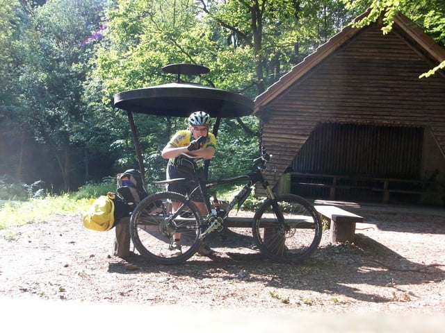
Schöne Relaxte tour Rund um Welzheim. Zum Schluss kann man bei warmen Wetter noch in den Aichstrutsee springen.

Tour map and elevation profile

  • Open Street Map
  • Google
Minimum height 313 m Maximum height 615 m Detailed view

More about the tour author

jenso1893
Member since 2009

Send private message

Comments

Nach der Ortumfahrung Welzheim an dem 1 Kreisverkehr nach dem Ortschild die 3 Ausfahrt nehmen und noch 100 m bis zum Parkplatz und Startpunkt der Tour fahren

GPS tracks

Trackpoints
  • GPX / Garmin Map Source (gpx) download
  • TCX / Garmin Training Center® (tcx) download
  • CRS / Garmin Training Center® (crs) download
  • Google Earth (kml) download
  • G7ToWin (g7t) download
  • TTQV (trk) download
  • Overlay (ovl) download
  • Fugawi (txt) download
  • Kompass (DAV) Track (tk) download
  • Track data sheet (pdf) download
  • Original file of the author (gpx) download

More about the tour author

jenso1893
Member since 2009

Send private message
Share track
Add to my favorites
Remove from my favorites
Edit tags
My score
Rate
Track: Limes Tour Welzheim
Type: Mountain bike
Distance: 33,0 km
Evaluated on:
Duration:
Day(s)
Hour(s)
Minute(s)
Score: Landscape Fun factor Fitness Technique