Login

Forgot your login?

Cookies have to be accepted!
Your browser's cookie functionality is disabled. Please enable this functionality.

Not a member yet?

Register now
Login

Available for registred users only

Log in to use this feature.

Forgot your login?

Cookies have to be accepted!
Your browser's cookie functionality is disabled. Please enable this functionality.

Not a member yet?

Register now
Filter
Categories
Advanced filters
  • Distance (km)
  • Height
Save filters Reset filter

TrackRank

QRCode

Technical data

Distance17,2 km Height352 m Way down353 m Duration01:30 h:m Date06.06.2009
Scores Author Landscape Fun factor Fitness Technique

Statistics

326 Views 2 Scores 84 Downloads 3.50 Average
Rate
  • Track data sheet
  • Directions
  • Downloads
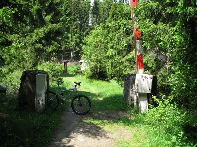
Spaß Tour ebenfalls von ca. 1,5 Std nur ist diesmal Tschechien dabei (Ausweis) wird von keinem Grenzer kontrolliert die Übergänge sind nur für Wanderer und Biker in Tschechien geht es ziemlich hügelig her macht aber eine Menge Spaß dort zu Biken

Further information at

http://www.hotel-maerchenwald.de/bischofsreut/index.html

Tour gallery

Tour map and elevation profile

  • Open Street Map
  • Google
Minimum height 532 m Maximum height 982 m Detailed view

More about the tour author

Waldschrat
Member since 2007

Send private message

Comments

minneapolis on 24.07.2009

Dauer

Schafft man auch in einer Stunde - sogar in eher gemütlichem Tempo.
Autobahn Degendorf Ausfahrt Hengersberg auf der B533 Richtung Freyung Grafenau Philippsreut Langreut Hotel Märchenwald

GPS tracks

Trackpoints
  • GPX / Garmin Map Source (gpx) download
  • TCX / Garmin Training Center® (tcx) download
  • CRS / Garmin Training Center® (crs) download
  • Google Earth (kml) download
  • G7ToWin (g7t) download
  • TTQV (trk) download
  • Overlay (ovl) download
  • Fugawi (txt) download
  • Kompass (DAV) Track (tk) download
  • Track data sheet (pdf) download
  • Original file of the author (gpx) download

More about the tour author

Waldschrat
Member since 2007

Send private message
Share track
Add to my favorites
Remove from my favorites
Edit tags
My score
Rate
Track: Bayer Wald Tour 02
Type: Mountain bike
Distance: 17,2 km
Evaluated on:
Duration:
Day(s)
Hour(s)
Minute(s)
Score: Landscape Fun factor Fitness Technique