Login

Forgot your login?

Cookies have to be accepted!
Your browser's cookie functionality is disabled. Please enable this functionality.

Not a member yet?

Register now
Login

Available for registred users only

Log in to use this feature.

Forgot your login?

Cookies have to be accepted!
Your browser's cookie functionality is disabled. Please enable this functionality.

Not a member yet?

Register now
Filter
Categories
Advanced filters
  • Distance (km)
  • Height
Save filters Reset filter

TrackRank

QRCode

Technical data

Distance57,2 km Height1015 m Way down1024 m Duration03:09 h:m Date06.06.2009
Scores Author User Landscape Fun factor Fitness Technique

Statistics

682 Views 1 Score 130 Downloads 4.00 Average
Rate
  • Track data sheet
  • Directions
  • Downloads
Questo Itinerario tocca alcune delle più belle località della Valmetauro tra cui Saltara,Cartoceto,Serrungarina, Fossombrone, località Cappuccini e Marmitte dei Giganti. Il percorso è misto: asfalto 90% e sterrato 10%. Si può godere del panorama collinare fino al mare.
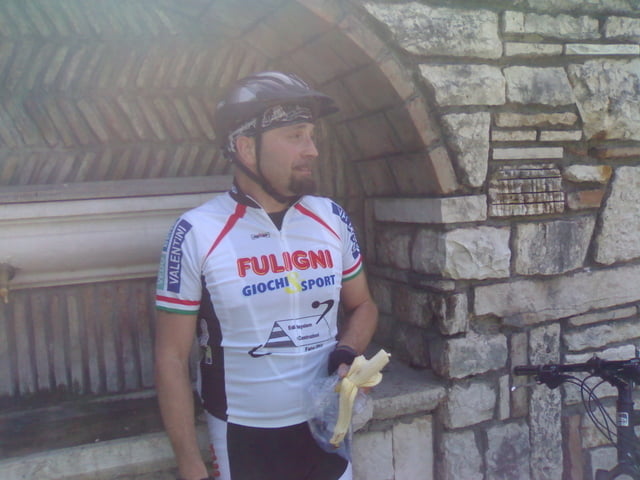
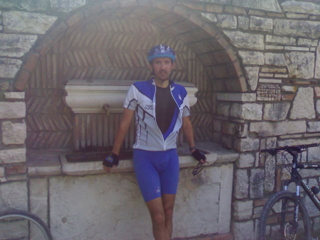
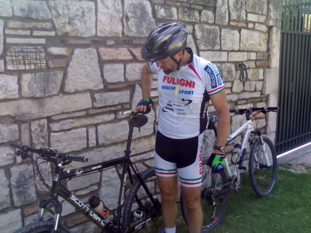
Tour gallery

Tour map and elevation profile

  • Open Street Map
  • Google
Minimum height 59 m Maximum height 372 m Detailed view

More about the tour author

cris700
Member since 2009

Send private message

Comments

GPS tracks

Trackpoints
  • GPX / Garmin Map Source (gpx) download
  • TCX / Garmin Training Center® (tcx) download
  • CRS / Garmin Training Center® (crs) download
  • Google Earth (kml) download
  • G7ToWin (g7t) download
  • TTQV (trk) download
  • Overlay (ovl) download
  • Fugawi (txt) download
  • Kompass (DAV) Track (tk) download
  • Track data sheet (pdf) download
  • Original file of the author (gpx) download

More about the tour author

cris700
Member since 2009

Send private message
Share track
Add to my favorites
Remove from my favorites
Edit tags
My score
Rate
Track: Val Metauro da Saltara
Type: Mountain bike
Distance: 57,2 km
Evaluated on:
Duration:
Day(s)
Hour(s)
Minute(s)
Score: Landscape Fun factor Fitness Technique