

Tour vom Gardenclub nach Populonia und dann Offroad nach Piombino.
Bei km 20,4 evtl. geradeaus da der gefahrene Weg in einem Hof endet.
Gab jedoch keine Probleme
Tour kann sicher bei km 20 - 22 optimiert werden.
Fehlende Karten machen den Bikern das Leben in der Toscana doch etwas schwerer.
Vorschläge für eine verbesserte Route wären top.
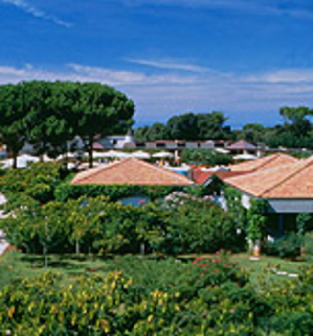
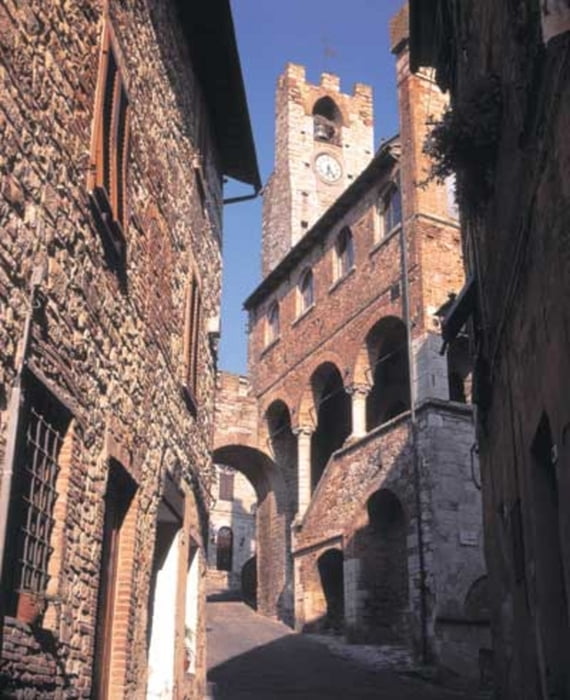
Tour gallery

Tour map and elevation profile
Minimum height
Maximum height 264 m
More about the tour author
|
|
Dyroff |
Comments
Ab Gardenclub
GPS tracks
Trackpoints-
GPX / Garmin Map Source (gpx) download
-
TCX / Garmin Training Center® (tcx) download
-
CRS / Garmin Training Center® (crs) download
-
Google Earth (kml) download
-
G7ToWin (g7t) download
-
TTQV (trk) download
-
Overlay (ovl) download
-
Fugawi (txt) download
-
Kompass (DAV) Track (tk) download
-
Track data sheet (pdf) download
-
Original file of the author (gpx) download
More about the tour author
|
|
Dyroff |
Add to my favorites
Remove from my favorites
Edit tags
Open track
My score
Rate
Variante
Nach ca 1 km kommt links eine verfallene Kapelle, dort bei dem kleinen Marterl links in den Wald und nach ca 200m rechts abwärts dem Pfad folgend. Toller trail. Durch ein Wildschweingatter zu einem Feuremeldeturm und dort links abwärts richtung Baratti mir herrlichem Ausblick auf den Golf. Man kopmmt dann bei den Ausgrabungen wieder auf die Straße richtung Populonia.
Schöne Abkürzung der Runde für zwischendurch.
gruß Wolfgang