


Die Tour startet am Ende der Kennedy Straße.
Durchs Köferinger Tal vorbei an Salleröd,Sauheim und am Schrottplatz in Wollenzhofen.
Die nächsten Ortschaften sind Darsberg und Lammerthal, wo eine tolle abfahrt
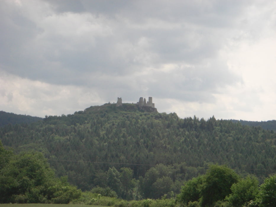
hinunter in das schöne Dorf Hohenburg führt.
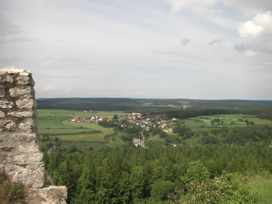
In Hohenburg am Schlossberg hinauf zur Burgruine (teilweise sehr heftiger uphill ).
Die dann mit einer herrlichen Aussicht belohnt wird.
Weiter über Mendorferbuch,Fiebertsheim durchs Taubenbach Tal vorbei an den drei Linden,
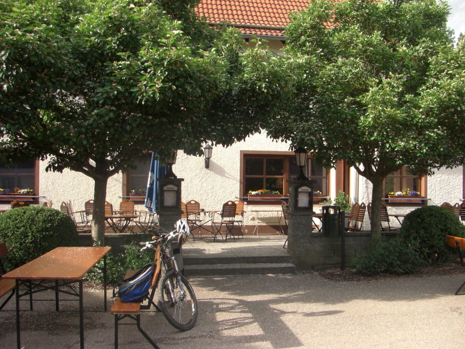
und zur Brotzeit nach Kreuth zum Gut Matheshof.
Nun über die Ortschaft Hirschwald zurück zum Ausgangspunkt.
Nur bei trockenem Wetter fahren, sonst wird's matschig .
Viel Spaß
Tour gallery
Tour map and elevation profile
Minimum height 375 m
Maximum height 540 m
More about the tour author
|
|
GZKillermann |
Comments

GPS tracks
Trackpoints-
GPX / Garmin Map Source (gpx) download
-
TCX / Garmin Training Center® (tcx) download
-
CRS / Garmin Training Center® (crs) download
-
Google Earth (kml) download
-
G7ToWin (g7t) download
-
TTQV (trk) download
-
Overlay (ovl) download
-
Fugawi (txt) download
-
Kompass (DAV) Track (tk) download
-
Track data sheet (pdf) download
-
Original file of the author (gpx) download
More about the tour author
|
|
GZKillermann |
Add to my favorites
Remove from my favorites
Edit tags
Open track
My score
Rate