
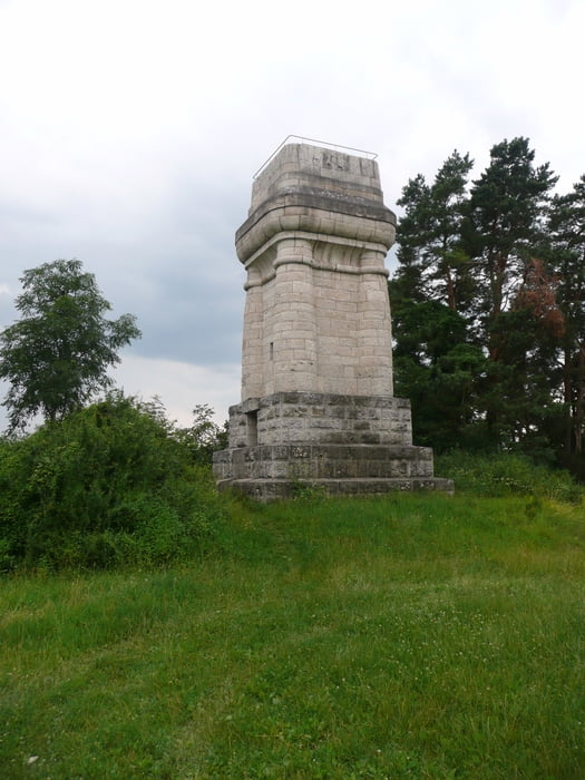

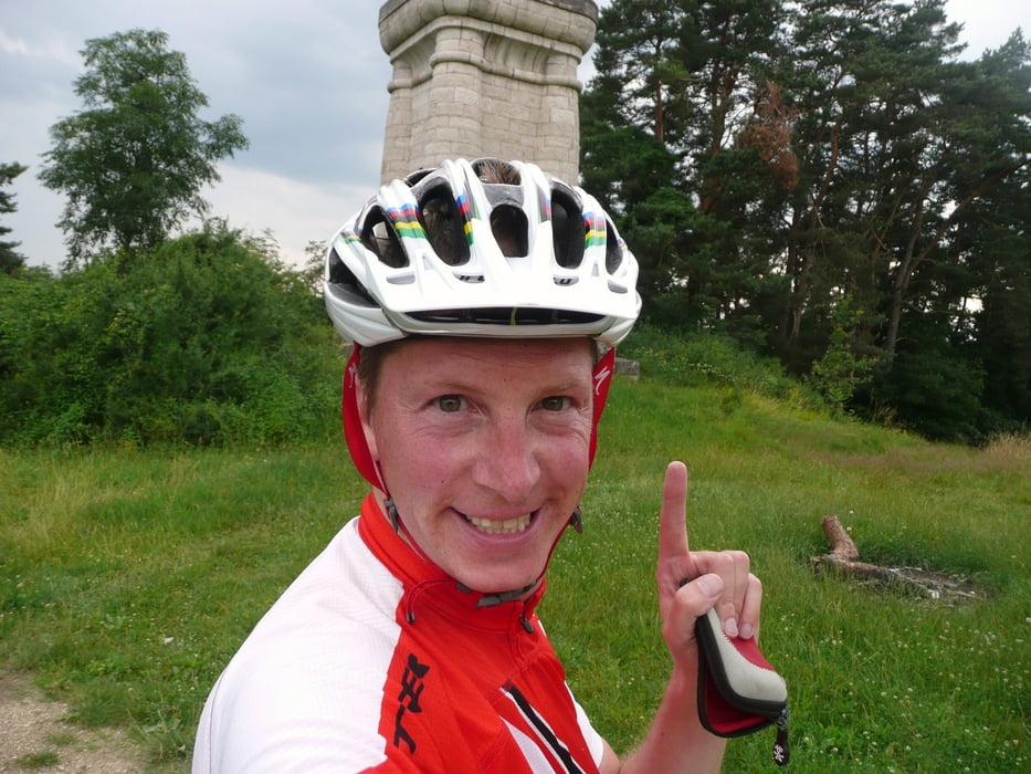
Zum ersten Mal im Fränkischen Seenland, und sicher nicht zum letzten Mal. Startpunkt der einfachen Tour ist Ellingen, von dort geht es in den Weissenburger Wald bis hoch zum Bismarckturm von dem man einen schönen Ausblick in das Altmühltal hat. Dann weiter auf den nächsten Berg, zu einer alten römischen Befistigungsanlage. Von dort leichten Auf- und Abfahrten folgenden durch Weissenburg zurück zum Startpunkt
Further information at
http://www.mountainbike-in-bayern.deTour gallery
Tour map and elevation profile
Minimum height 393 m
Maximum height 633 m
More about the tour author
|
|
PegasusEeagel |
Comments

GPS tracks
Trackpoints-
GPX / Garmin Map Source (gpx) download
-
TCX / Garmin Training Center® (tcx) download
-
CRS / Garmin Training Center® (crs) download
-
Google Earth (kml) download
-
G7ToWin (g7t) download
-
TTQV (trk) download
-
Overlay (ovl) download
-
Fugawi (txt) download
-
Kompass (DAV) Track (tk) download
-
Track data sheet (pdf) download
-
Original file of the author (gpx) download
More about the tour author
|
|
PegasusEeagel |
Add to my favorites
Remove from my favorites
Edit tags
Open track
My score
Rate