Login

Forgot your login?

Cookies have to be accepted!
Your browser's cookie functionality is disabled. Please enable this functionality.

Not a member yet?

Register now
Login

Available for registred users only

Log in to use this feature.

Forgot your login?

Cookies have to be accepted!
Your browser's cookie functionality is disabled. Please enable this functionality.

Not a member yet?

Register now
Filter
Categories
Advanced filters
  • Distance (km)
  • Height
Save filters Reset filter

TrackRank

QRCode

Technical data

Distance62,7 km Height553 m Way down558 m Duration03:00 h:m Date11.06.2009
Scores Author User Landscape Fun factor Fitness Technique

Statistics

621 Views 2 Scores 143 Downloads 3.50 Average
Rate
  • Track data sheet
  • Directions
  • Downloads

Eine schöne entspannte Tour entlang der drei Flüsse Neckar - Murr - Rems

Ausgangspunkt ist Fellbach (kann aber überall eingestiegen werden)

Fellbach - Remseck - Ludwigsburg - Marbach a.N. - Steinheim Murr - Kirschenweiler - Winnenden - Korb - Fellbach

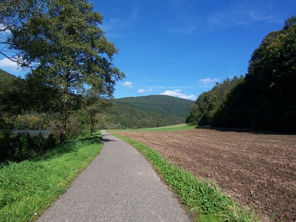
Tour zu 99% auf Asphalt (80% Radweg) und kann dadurch auch bei schlechterem Wetter gefahren werden! (gell Dani :-))

Tour map and elevation profile

  • Open Street Map
  • Google
Minimum height 190 m Maximum height 370 m Detailed view

More about the tour author

buddy1606
Member since 2009

Send private message

Comments

neoc13 on 12.06.2009

jetzt ja, Schutzblech ist an Bord. nächstes mal gibts kein Ausreden :-)

Gruß,
D.
steg on 03.01.2012

Durchschnittliches Mittelmaß

Nachdem ich mir die Runde heute eingeflößt habe, kann ich folgendes über Licht und Schatten berichten: Das Murrtal ist oberhalb von Kirchberg sehr reizvoll. Allerdings besitzt der Track für eine MTB-Tour einen ungewöhnlich hoher Straßenanteil zwischen Steinheim und Korb (meist ohne Radwegoption). In Kirchberg (km 35.0) führt der Track über Zäune, Vorgärten und Verandas, hier ist die Aufzeichnung unpräzise. Über die Ortsdurchfahrt von Winnenden schreibe ich besser erst gar nicht :-(
Tour kann überall begonnen werden. Fellbach Bahnhof, oder Ludwigsburg Freibad oder Marbach...

GPS tracks

Trackpoints
  • GPX / Garmin Map Source (gpx) download
  • TCX / Garmin Training Center® (tcx) download
  • CRS / Garmin Training Center® (crs) download
  • Google Earth (kml) download
  • G7ToWin (g7t) download
  • TTQV (trk) download
  • Overlay (ovl) download
  • Fugawi (txt) download
  • Kompass (DAV) Track (tk) download
  • Track data sheet (pdf) download
  • Original file of the author (gpx) download

More about the tour author

buddy1606
Member since 2009

Send private message
Share track
Add to my favorites
Remove from my favorites
Edit tags
My score
Rate
Track: 3 Flüsse Neckar_Murr_Rems
Type: Mountain bike
Distance: 62,7 km
Evaluated on:
Duration:
Day(s)
Hour(s)
Minute(s)
Score: Landscape Fun factor Fitness Technique