

Eigentlich eine Trekkingradtour, die aber gut für die erste Ausfahrt mit dem Mountainbike im Frühling bzw. für die letzte im Herbst ist.
Die Angabe zur Dauer der Tour bezieht sich auf die reine Fahrzeit. Je nach Pausen kanns natürlich länger dauern!
Die Angabe zur Dauer der Tour bezieht sich auf die reine Fahrzeit. Je nach Pausen kanns natürlich länger dauern!
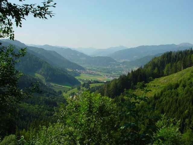
Tour map and elevation profile
Minimum height 688 m
Maximum height 1595 m
More about the tour author

|
Comments

Abfahrt Judenburg Ost. Tourstart/ende ist am Theodor-Körner-Platz. Dort kann man auch parken.
GPS tracks
Trackpoints-
GPX / Garmin Map Source (gpx) download
-
TCX / Garmin Training Center® (tcx) download
-
CRS / Garmin Training Center® (crs) download
-
Google Earth (kml) download
-
G7ToWin (g7t) download
-
TTQV (trk) download
-
Overlay (ovl) download
-
Fugawi (txt) download
-
Kompass (DAV) Track (tk) download
-
Track data sheet (pdf) download
-
Original file of the author (gpx) download
More about the tour author
|
|
Add to my favorites
Remove from my favorites
Edit tags
Open track
My score
Rate