Login

Forgot your login?

Cookies have to be accepted!
Your browser's cookie functionality is disabled. Please enable this functionality.

Not a member yet?

Register now
Login

Available for registred users only

Log in to use this feature.

Forgot your login?

Cookies have to be accepted!
Your browser's cookie functionality is disabled. Please enable this functionality.

Not a member yet?

Register now
Filter
Categories
Advanced filters
  • Distance (km)
  • Height
Save filters Reset filter

TrackRank

QRCode

Technical data

Distance36,0 km Height757 m Way down747 m Duration02:24 h:m Date12.06.2009
Scores Author User Landscape Fun factor Fitness Technique

Statistics

378 Views 1 Score 142 Downloads 5.00 Average
Rate
  • Track data sheet
  • Directions
  • Downloads

Ein paar Höhenmeter für den Feierabend.

Start ist wieder mal am Parkplatz der alten Schule von Bitburg-Mötsch. Die erste Hälfte läuft über schöne Wald- und Feldwege. Zurück gehts über den Kylltalradweg.
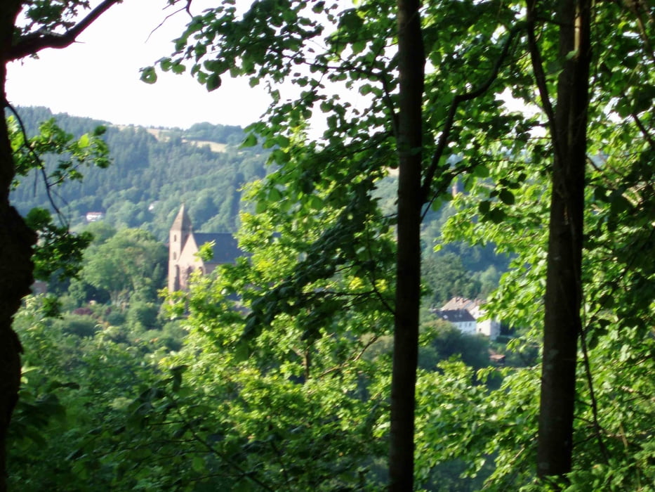
Tour gallery

Tour map and elevation profile

  • Open Street Map
  • Google
Minimum height 220 m Maximum height 400 m Detailed view

More about the tour author

thomashoor
Member since 2009

Send private message

Comments

A60/B51 nach Bitburg-Süd. Dann der Beschilderung nach Mötsch folgen.

GPS tracks

Trackpoints
  • GPX / Garmin Map Source (gpx) download
  • TCX / Garmin Training Center® (tcx) download
  • CRS / Garmin Training Center® (crs) download
  • Google Earth (kml) download
  • G7ToWin (g7t) download
  • TTQV (trk) download
  • Overlay (ovl) download
  • Fugawi (txt) download
  • Kompass (DAV) Track (tk) download
  • Track data sheet (pdf) download
  • Original file of the author (gpx) download

More about the tour author

thomashoor
Member since 2009

Send private message
Share track
Add to my favorites
Remove from my favorites
Edit tags
My score
Rate
Track: Mötsch - Malberg - Abendrunde
Type: Mountain bike
Distance: 36,0 km
Evaluated on:
Duration:
Day(s)
Hour(s)
Minute(s)
Score: Landscape Fun factor Fitness Technique