


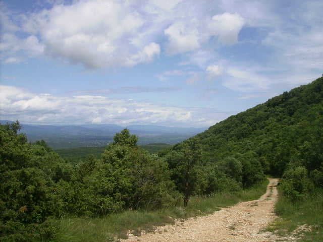
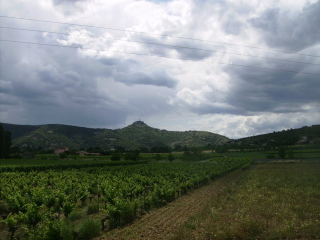
Von Labeaume (village de charactére !!) über St. Alban Auriolles nach Grospierres, von dort über den Col de la Cize (bischen schotterig, meist aber angenehme Steigungen - trialige Abfahrt mit teilweise größeren Steinen !) nach Brujas, von dort über Salavas nach Vallon-Pont-d ´Arc. Von dort über St. Martin noch über den Sampzon (markanteste Erhebung der Gegend mit Sender) zurück über Ruoms nach Labeaume.
Sehr schöne Tour !!
Tour gallery
Tour map and elevation profile
Minimum height 91 m
Maximum height 463 m
More about the tour author

|
neutrino |
Comments

Aus Deutschland kürzester Weg über Mülhausen (Mulhouse) über die A7 (Autoroute de soleil) bis nach Montelimar und dann über Le Teil ( Richtung Aubenas und bei St. Germain Richtung Vallon-Pont-d´Arc.
GPS tracks
Trackpoints-
GPX / Garmin Map Source (gpx) download
-
TCX / Garmin Training Center® (tcx) download
-
CRS / Garmin Training Center® (crs) download
-
Google Earth (kml) download
-
G7ToWin (g7t) download
-
TTQV (trk) download
-
Overlay (ovl) download
-
Fugawi (txt) download
-
Kompass (DAV) Track (tk) download
-
Track data sheet (pdf) download
-
Original file of the author (gpx) download
More about the tour author
|
|
neutrino |
Add to my favorites
Remove from my favorites
Edit tags
Open track
My score
Rate