Login

Forgot your login?

Cookies have to be accepted!
Your browser's cookie functionality is disabled. Please enable this functionality.

Not a member yet?

Register now
Login

Available for registred users only

Log in to use this feature.

Forgot your login?

Cookies have to be accepted!
Your browser's cookie functionality is disabled. Please enable this functionality.

Not a member yet?

Register now
Filter
Categories
Advanced filters
  • Distance (km)
  • Height
Save filters Reset filter

TrackRank

QRCode

Technical data

Distance34,3 km Height224 m Way down240 m Duration02:00 h:m Date18.06.2009
Scores Author Landscape Fun factor Fitness Technique

Statistics

930 Views 1 Score 175 Downloads 4.00 Average
Rate
  • Track data sheet
  • Directions
  • Downloads

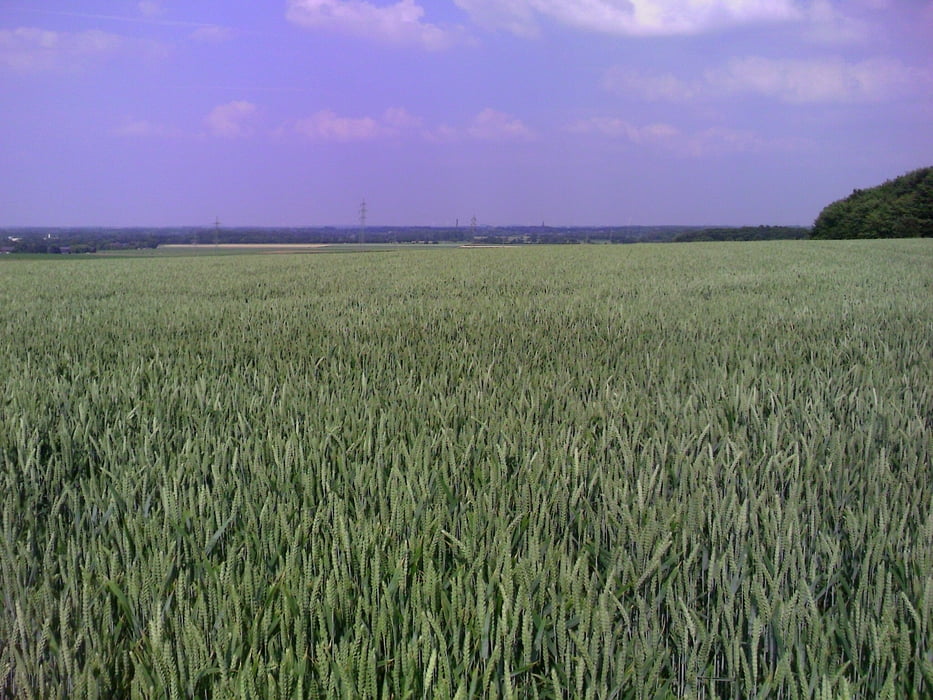
Hier ist für alle etwas dabei - kurze, knackige Anstiege, schmale Trails, entspannendes Biken entlang der Niers, eine echte Genußrunde, bei der tatsächlich doch etwas an Höhenmeter herumkommt, wenn man ständig bergan, bergab fährt.

Viel Spaß beim Nachradeln!
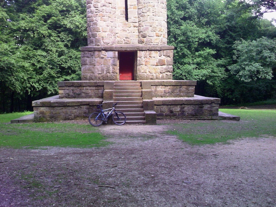
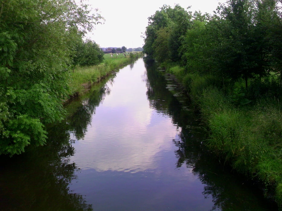
Tour gallery

Tour map and elevation profile

  • Open Street Map
  • Google
Minimum height 27 m Maximum height 90 m Detailed view

More about the tour author

Ulli1962
Member since 2009

Send private message

Comments

GPS tracks

Trackpoints
  • GPX / Garmin Map Source (gpx) download
  • TCX / Garmin Training Center® (tcx) download
  • CRS / Garmin Training Center® (crs) download
  • Google Earth (kml) download
  • G7ToWin (g7t) download
  • TTQV (trk) download
  • Overlay (ovl) download
  • Fugawi (txt) download
  • Kompass (DAV) Track (tk) download
  • Track data sheet (pdf) download
  • Original file of the author (gpx) download

More about the tour author

Ulli1962
Member since 2009

Send private message
Share track
Add to my favorites
Remove from my favorites
Edit tags
My score
Rate
Track: Rundum die Süchtelner Höhen :-)
Type: Mountain bike
Distance: 34,3 km
Evaluated on:
Duration:
Day(s)
Hour(s)
Minute(s)
Score: Landscape Fun factor Fitness Technique