
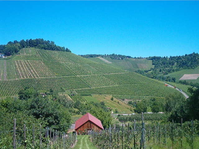

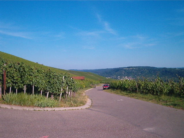
Viel Teer und Schotter, aber einige schöne Aussichtspunkte auf dem Rotenberg oder beim Kernenturm.
Die Ausschilderung ist ganz OK, aber an einigen Stellen schon problematisch, man muß dann schon suchen und kann sich auch verfahren, wenn man ohne GPS unterwegs ist.
Tour gallery
Tour map and elevation profile
Minimum height 219 m
Maximum height 532 m
More about the tour author

|
dertiger |
Comments

Tour beginnt in Oberesslingen (Bahnhof). Von dort in wenigen Minuten nach Uhlbach, zum Anfang des Georg Fahrbach Weges. Ende ist der Stöckenhof. Hier kann man den GFW mit der Tour 1567 weiterfahren.
GPS tracks
Trackpoints-
GPX / Garmin Map Source (gpx) download
-
TCX / Garmin Training Center® (tcx) download
-
CRS / Garmin Training Center® (crs) download
-
Google Earth (kml) download
-
G7ToWin (g7t) download
-
TTQV (trk) download
-
Overlay (ovl) download
-
Fugawi (txt) download
-
Kompass (DAV) Track (tk) download
-
Track data sheet (pdf) download
-
Original file of the author (gpx) download
More about the tour author
|
|
dertiger |
Add to my favorites
Remove from my favorites
Edit tags
Open track
My score
Rate