


Die Rundtour beginnt in Wiesbaden-Schierstein und führt über folgende Orientierungspunkte
- Frauenstein
- Georgenborn
- Wambach
- Schüchen Eiche - Hier lohnt es sich allemal mal Pause zu machen da es jetzt erstmal wieder Bergab geht :-)
- Schlangenbad - Vorsicht in diesem Bereich haben die Waldarbeiter zum Zeitpunkt der Trackaufzeichnung fürchterlich gewütet, es ist teilweise Bike tragen oder eine gute Fahrtechnik (trailen) angesagt.
- Grüne Bank
- Rauenthal - Achtung, kurz vor Rauenthal im Dicknet mit offenen Augen fahren ;-) der Trail ist da, leider nur etwas zugewachsen(Blick nach links und am umgestürzten SEEEHR dicken Baum orientieren oder einfach Stur nach GPS fahren!) Kurz nach dem Forsthaus ist für viele Biker schieben angesagt oder eben reichhaltige Kondition erforderlich (bis zu 25% Steigung auf 900m)
- Martinsthal
- Frauenstein
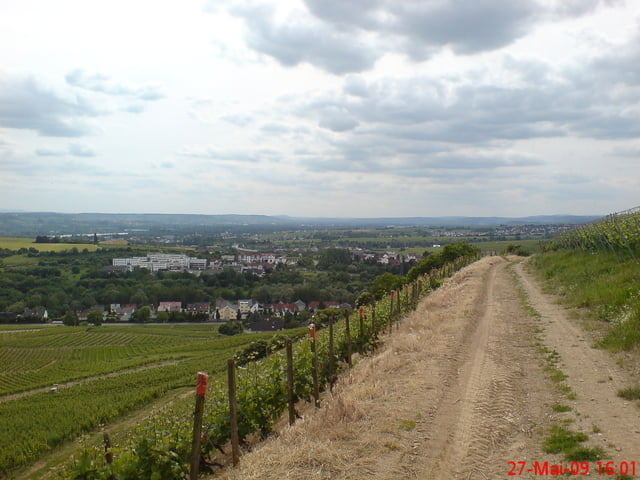
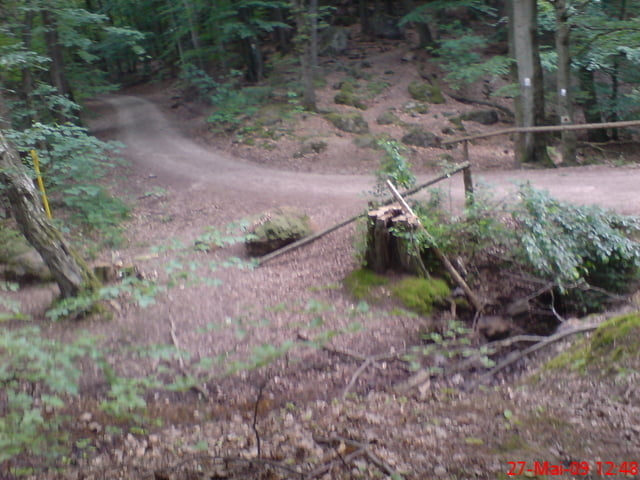
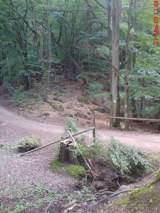
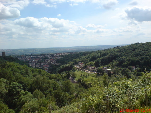
Tour gallery
Tour map and elevation profile
Minimum height 93 m
Maximum height 497 m
More about the tour author

|
Comments

Am Tourstartpunkt in Schierstein sollten Parkplätze vorhanden sein, Der Startunkt liegt auch nicht weit vom Bahnhof Schierstein entfernt (500m?)
Die Tour sollte auf jedenfall in Schierstein und nicht in Frauenstein beginnen da ein bischen einrollen noch niemandem geschadet hat ;-)
GPS tracks
Trackpoints-
GPX / Garmin Map Source (gpx) download
-
TCX / Garmin Training Center® (tcx) download
-
CRS / Garmin Training Center® (crs) download
-
Google Earth (kml) download
-
G7ToWin (g7t) download
-
TTQV (trk) download
-
Overlay (ovl) download
-
Fugawi (txt) download
-
Kompass (DAV) Track (tk) download
-
Track data sheet (pdf) download
-
Original file of the author (gpx) download
More about the tour author
|
|
Add to my favorites
Remove from my favorites
Edit tags
Open track
My score
Rate