
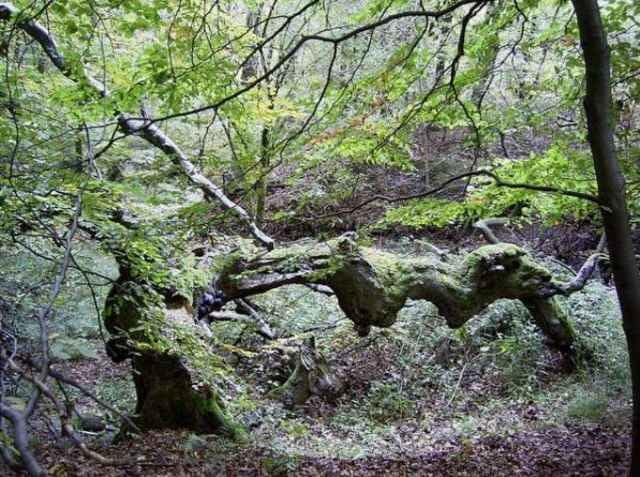

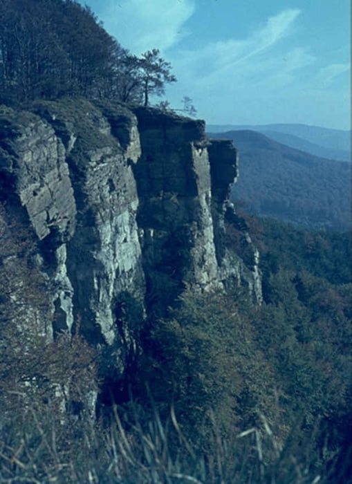
Nette Runde über Dachtelfeld, Blutbachquelle, Baxmannbaude, Hohenstein, Süntelturm.
Die Südschleife zum Süntelturm ist mir persönlich noch etwas langweilig. Vielleicht hat ja jemand Ideen für ein Update?!
Die Südschleife zum Süntelturm ist mir persönlich noch etwas langweilig. Vielleicht hat ja jemand Ideen für ein Update?!
Tour gallery
Tour map and elevation profile
Minimum height 84 m
Maximum height 437 m
More about the tour author

|
Comments

Lauenau, Hülsede, Messenkamp, ...
GPS tracks
Trackpoints-
GPX / Garmin Map Source (gpx) download
-
TCX / Garmin Training Center® (tcx) download
-
CRS / Garmin Training Center® (crs) download
-
Google Earth (kml) download
-
G7ToWin (g7t) download
-
TTQV (trk) download
-
Overlay (ovl) download
-
Fugawi (txt) download
-
Kompass (DAV) Track (tk) download
-
Track data sheet (pdf) download
-
Original file of the author (gpx) download
More about the tour author
|
|
Add to my favorites
Remove from my favorites
Edit tags
Open track
My score
Rate