
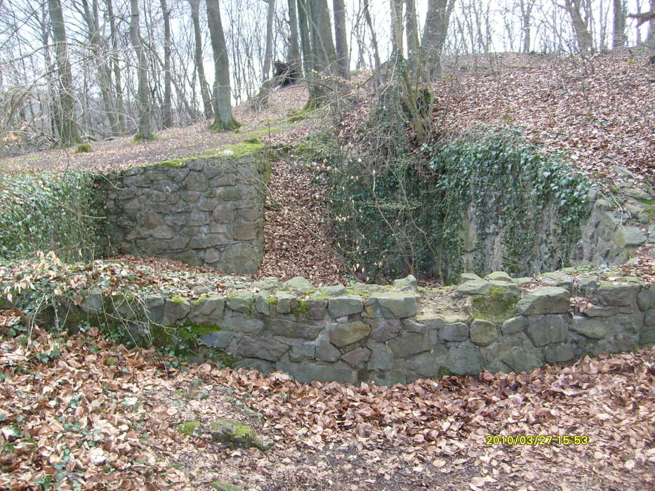

Die Tour startet in Hagen-Wehringhausen und führt durch den Stadtwald nach Eilpe über den Eilper Berg nach Delstern. Dort hoch zum Staplack und weiter richtung HA-Dahl. von dort Richtung Kuhwiese durch Mäckinger Bachtal zurück zum HA-Stadtwald.
Die Tour hat ja einige HM zu bewältigen und auch ein paar Trails zu bieten. Ein, zwei Pfade sind je nach Jahreszeit etwas zu gewachsen. In Dahl ist nach dem kleinen Steg der Weg etwas durch Baumschlag verwüstet, dort muß man sich ganz am Zaun halten und das Bike ca. 20m schieben. Geht aber.
Ansonsten viel Spaß beim biken :-)))
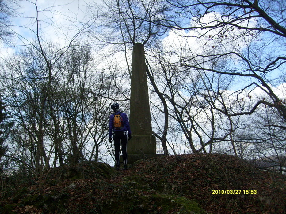
Tour gallery
Tour map and elevation profile
Minimum height 28 m
Maximum height 367 m
More about the tour author
|
|
Ghostrocker |
Comments

GPS tracks
Trackpoints-
GPX / Garmin Map Source (gpx) download
-
TCX / Garmin Training Center® (tcx) download
-
CRS / Garmin Training Center® (crs) download
-
Google Earth (kml) download
-
G7ToWin (g7t) download
-
TTQV (trk) download
-
Overlay (ovl) download
-
Fugawi (txt) download
-
Kompass (DAV) Track (tk) download
-
Track data sheet (pdf) download
-
Original file of the author (gpx) download
More about the tour author
|
|
Ghostrocker |
Add to my favorites
Remove from my favorites
Edit tags
Open track
My score
Rate