
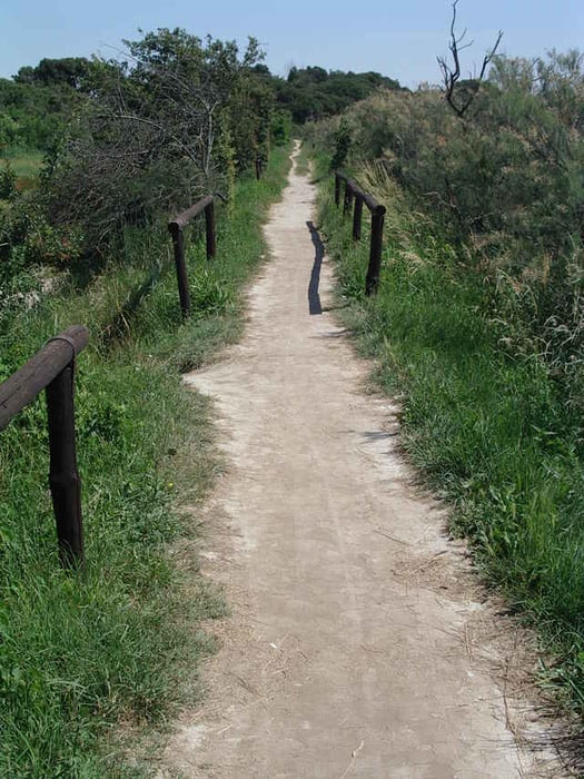

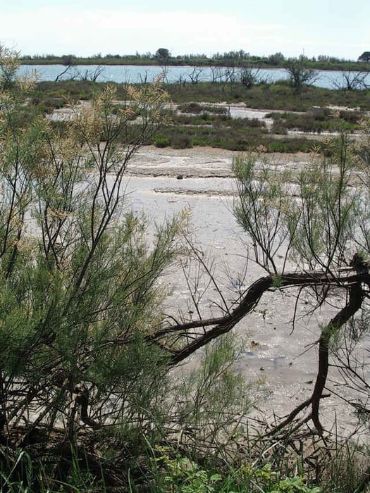
Die Tour startet auf Asphalt, wechselt aber nach kurzer Strecke zu Schotter und führt an einem Kanal entlang. Der Weg ist sehr gut zu fahren und wird an der Schleuse interessant. Dort wird der Weg zum Singletrail und ist gut zu fahren. In dem Wäldchen ist der technisch anspruchvollste Teil zu fahren, dort sind bis zu 20cm hohen Wurzeln zu überfahren. Danach führt der Trail an dem idyllisch bewachsenen Adriaufer entlang.
Ein Trail ohne Höhenmeter - aber trotzdem sehr abwechslungsreich. (Die 71m stammen aus der Automatik und sind maßlos übertrieben!)
Ein Trail ohne Höhenmeter - aber trotzdem sehr abwechslungsreich. (Die 71m stammen aus der Automatik und sind maßlos übertrieben!)
Tour gallery
Tour map and elevation profile
Minimum height -3 m
Maximum height 6 m
More about the tour author

|
upndown |
Comments

GPS tracks
Trackpoints-
GPX / Garmin Map Source (gpx) download
-
TCX / Garmin Training Center® (tcx) download
-
CRS / Garmin Training Center® (crs) download
-
Google Earth (kml) download
-
G7ToWin (g7t) download
-
TTQV (trk) download
-
Overlay (ovl) download
-
Fugawi (txt) download
-
Kompass (DAV) Track (tk) download
-
Track data sheet (pdf) download
-
Original file of the author (gpx) download
More about the tour author
|
|
upndown |
Add to my favorites
Remove from my favorites
Edit tags
Open track
My score
Rate