


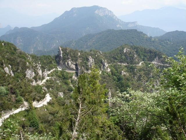
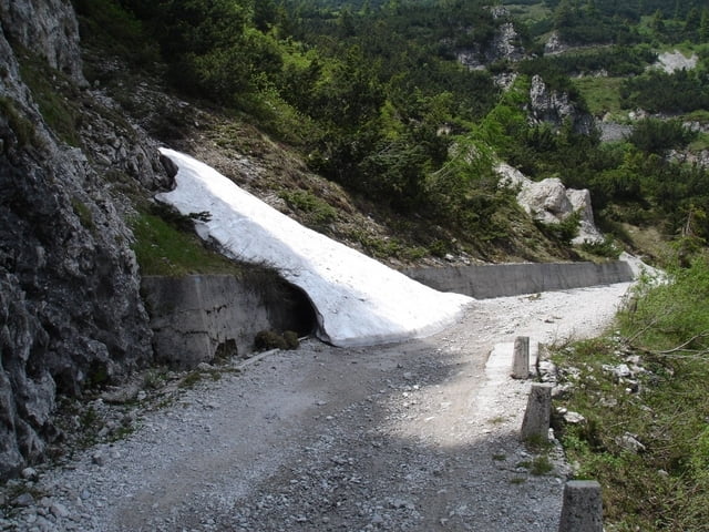
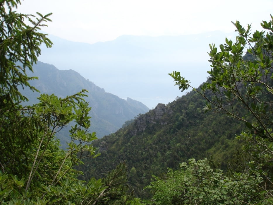
Die Rote entspricht der Moser 12, Tour 31, Tremalzo3. Von Molina geht es die "Rampi di Ledro" hoch bis zur Bocca dei Fortini. Die Auffahrt ist nicht von schlechten Eltern. Oft geht es steil über Betonplatten hoch. Oben angekommen führt die Route ab Passo Nota über Schotter teils ziemlich ausgesetzt hoch bis zum Tremalzo Tunnel. Ab hier geht es bergab, teils über Asphalt bis zur Garage Tremalzo. Von hier an erwartet einen ein geniales Trailparadis bis S. Martino. Die Tour führt weiter über Betonplatten und später Asphalt teils sehr steil runter bis zum Ledro See. Eine sehr anspruchsvolle aber auch traumhafte Tour.
Tour gallery
Tour map and elevation profile
Minimum height 650 m
Maximum height 1838 m
More about the tour author
|
|
ralph.trapp |
Comments

Von Riva Richtung Lago di Ledro. Oben in Molina rechts halten bis ein Parklatz auf der linken Seite kommt. Auf dem Parkplatz beginnt die Tour.
GPS tracks
Trackpoints-
GPX / Garmin Map Source (gpx) download
-
TCX / Garmin Training Center® (tcx) download
-
CRS / Garmin Training Center® (crs) download
-
Google Earth (kml) download
-
G7ToWin (g7t) download
-
TTQV (trk) download
-
Overlay (ovl) download
-
Fugawi (txt) download
-
Kompass (DAV) Track (tk) download
-
Track data sheet (pdf) download
-
Original file of the author (gpx) download
More about the tour author
|
|
ralph.trapp |
Add to my favorites
Remove from my favorites
Edit tags
Open track
My score
Rate