


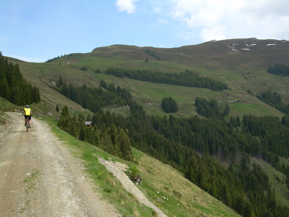
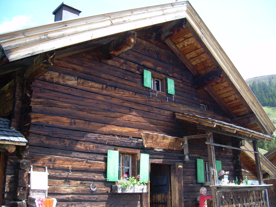
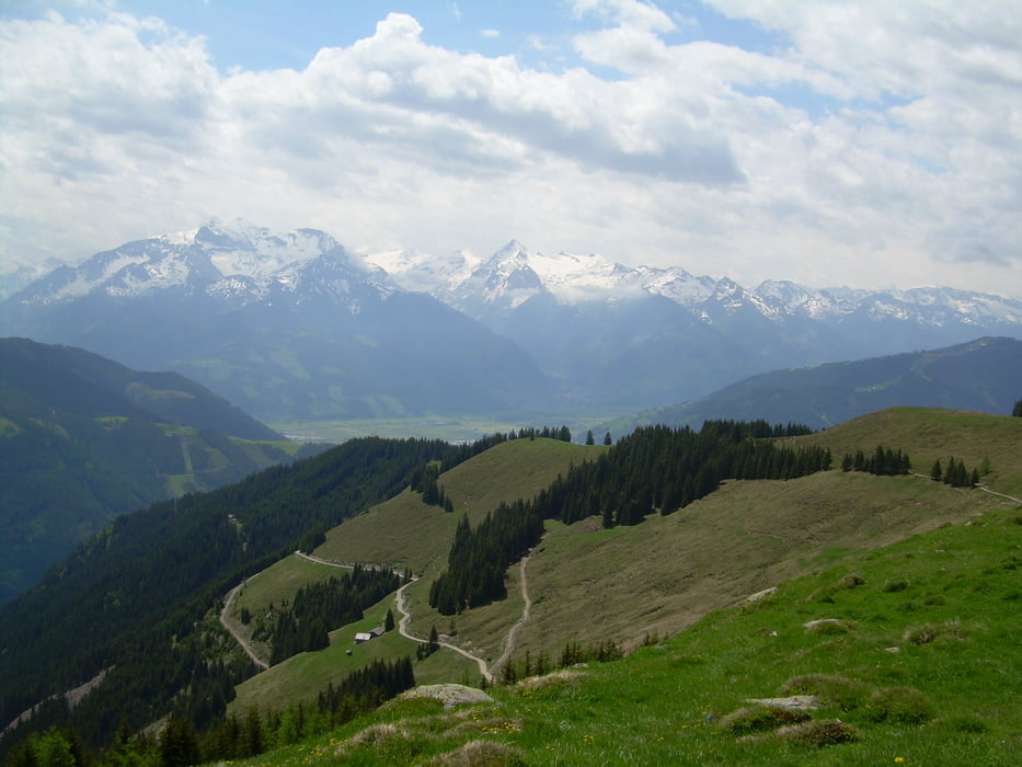
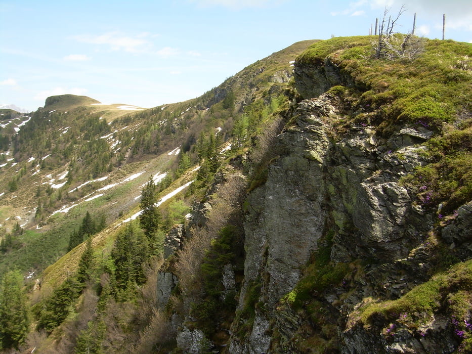
Die Tour führt vom Alpenhof (ein sehr empfehlenswertes Bikehotel) in Bruck an der Großglocknerstraße am Ostufer des Zellersees vorbei, in Thumersbach geht es dann nach rechts in das Tal und von dort aus Hoch zur Schützingalm, selbige ist bewirtschaftet und es gibt dort einen erstklassigen Kaiserschmarrn. Von dort aus geht es dann weiter hoch zur Schwalbenwand mit einer erstklassigen Aussicht und anschließend ab auf schönen Trails zurück nach Thumersbach, abgeschloßen wird die Tour mit einer Runde um den Zellersee zurück nach Bruck.
Further information at
http://www.bikefun.at/Tour gallery
Tour map and elevation profile
Minimum height 738 m
Maximum height 1846 m
More about the tour author

|
ralf_martin |
Comments

Die Tour startet am Bikehotel Alpemhof in Bruck an der Großglocknerstraße, kann aber Alternativ auch in Thummersbach oder in Zell am See begonnen werden.
GPS tracks
Trackpoints-
GPX / Garmin Map Source (gpx) download
-
TCX / Garmin Training Center® (tcx) download
-
CRS / Garmin Training Center® (crs) download
-
Google Earth (kml) download
-
G7ToWin (g7t) download
-
TTQV (trk) download
-
Overlay (ovl) download
-
Fugawi (txt) download
-
Kompass (DAV) Track (tk) download
-
Track data sheet (pdf) download
-
Original file of the author (gpx) download
More about the tour author
|
|
ralf_martin |
Add to my favorites
Remove from my favorites
Edit tags
Open track
My score
Rate