


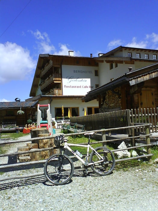
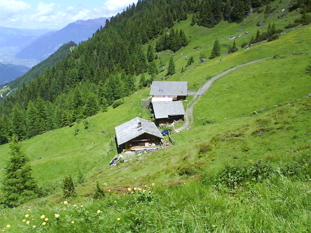
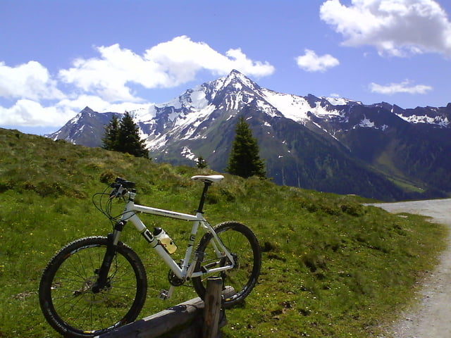
Gestartet bin ich am Campingplatz in Aschau. Auf dem Radweg bis Zell a. Z.von dort auf der Gerlosstr. nach Hainzenberg und hier nicht mit der Gondel sondern auf der "Rodelbahn"immer bergauf bis zum Gasthaus Gerlosstein. Der Weg ist eigentlich für Fahrräder gesperrt, ich hab nachgefragt und mir wurde zugesichert das dies nur aus Versicherungstechnischen Gründen wäre und man eben auf eigene Gefahr fährt. Vom Gasthaus Gerlosstein zur Kotahornalm geht es dann auf breitem Schotterweg leicht bergab. Ich hab dann zur Karlaalm den Panoramaweg 50 genommen, welcher sich als definitiv NICHT fahrbarer Singeltrail entpuppte. Von der Karlaalm geht es dann stetig erst auf Schotter dann auf Teer, bergab. Vorbei am Steinerkogelhaus über Brandberg und Mayerhofen zurück zum Ausgangspunkt. Ab Mayerhofen gemütlich ausrollen auf dem Radweg.
Tour gallery
Tour map and elevation profile
Minimum height 562 m
Maximum height 1778 m
More about the tour author
|
|
corsair |
Comments

GPS tracks
Trackpoints-
GPX / Garmin Map Source (gpx) download
-
TCX / Garmin Training Center® (tcx) download
-
CRS / Garmin Training Center® (crs) download
-
Google Earth (kml) download
-
G7ToWin (g7t) download
-
TTQV (trk) download
-
Overlay (ovl) download
-
Fugawi (txt) download
-
Kompass (DAV) Track (tk) download
-
Track data sheet (pdf) download
-
Original file of the author (gpx) download
More about the tour author
|
|
corsair |
Add to my favorites
Remove from my favorites
Edit tags
Open track
My score
Rate