


Start von Burgsinn auf dem Radweg nach Rieneck. In Rieneck geht es dann steil bergauf und dann wieder runter ins Sintersbachtal. Von hier, über einen kleinen Umweg zum Katharinenbild (kurze Rast), rauf zum Oberbecken mit Aussichtsblattform. Dann geht es auf einem Trail runter nach Lohr um danach wieder über dem Katharinenbild zur Bayrischen Schanz www.bayrische-schanz.de /zu fahren. Von hier geht es überwiegend abfallend über unbefestigte Waldwege zur Richteiche und schließlich zurück nach Burgsinn
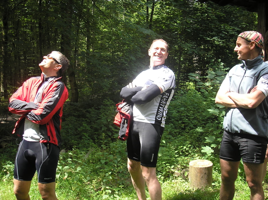
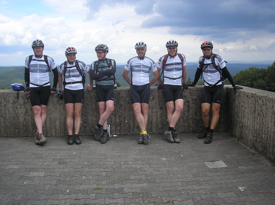
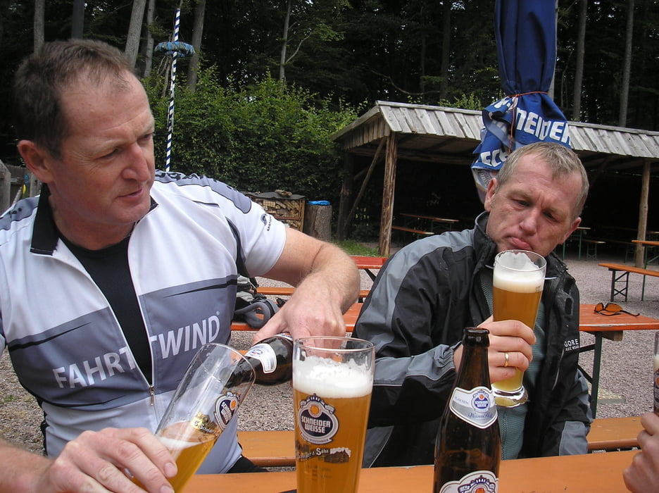
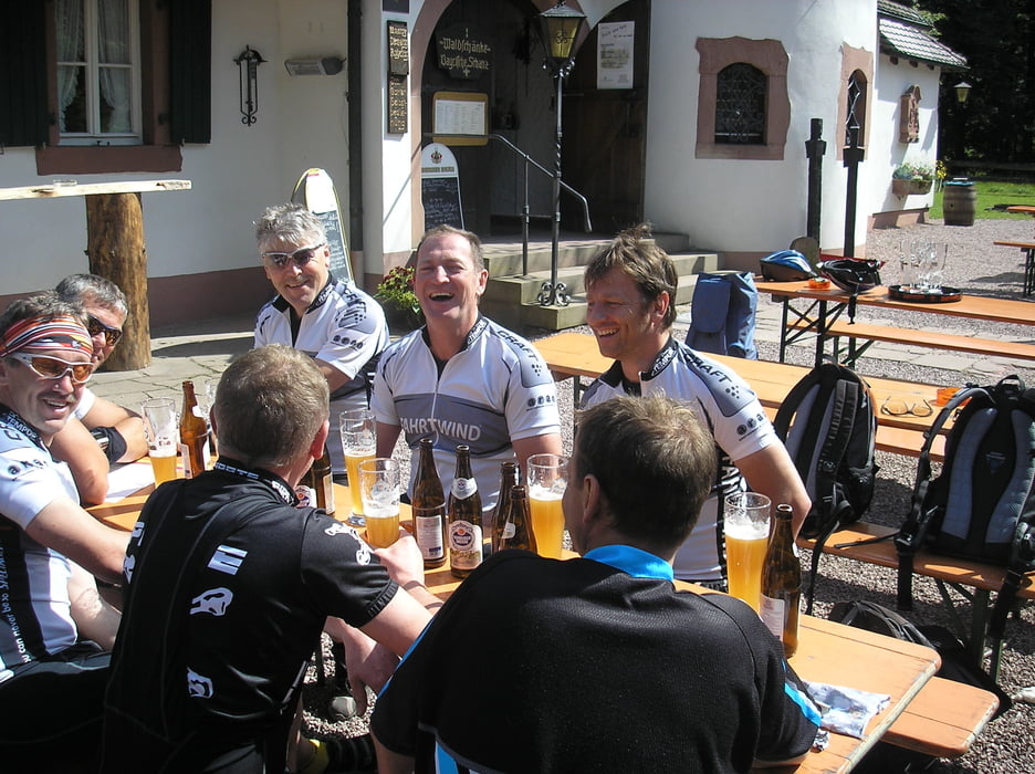
Tour gallery
Tour map and elevation profile
Minimum height 170 m
Maximum height 542 m
More about the tour author
|
|
wolffra |
Comments

GPS tracks
Trackpoints-
GPX / Garmin Map Source (gpx) download
-
TCX / Garmin Training Center® (tcx) download
-
CRS / Garmin Training Center® (crs) download
-
Google Earth (kml) download
-
G7ToWin (g7t) download
-
TTQV (trk) download
-
Overlay (ovl) download
-
Fugawi (txt) download
-
Kompass (DAV) Track (tk) download
-
Track data sheet (pdf) download
-
Original file of the author (gpx) download
More about the tour author
|
|
wolffra |
Add to my favorites
Remove from my favorites
Edit tags
Open track
My score
Rate