Login

Forgot your login?

Cookies have to be accepted!
Your browser's cookie functionality is disabled. Please enable this functionality.

Not a member yet?

Register now
Login

Available for registred users only

Log in to use this feature.

Forgot your login?

Cookies have to be accepted!
Your browser's cookie functionality is disabled. Please enable this functionality.

Not a member yet?

Register now
Filter
Categories
Advanced filters
  • Distance (km)
  • Height
Save filters Reset filter

TrackRank

QRCode

Technical data

Distance25,9 km Height912 m Way down50 m Duration02:30 h:m Date27.06.2009
Scores Author Landscape Fun factor Fitness Technique

Statistics

1063 Views 1 Score 193 Downloads 4.00 Average
Rate
  • Track data sheet
  • Directions
  • Downloads
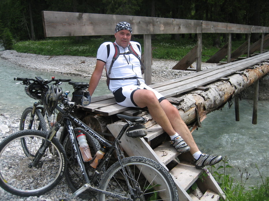
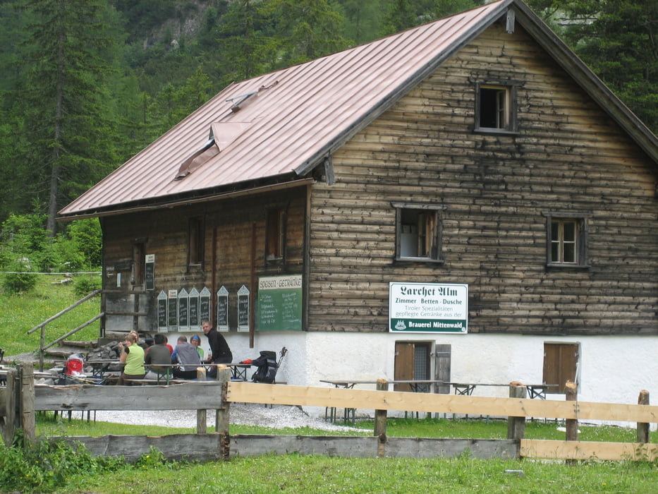
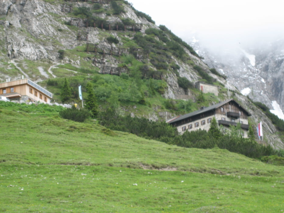
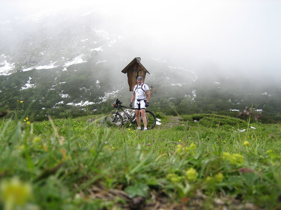
Von Mittenwald aus gehts über die Staatsgrenze nach Scharnitz und weiter durch das wunderschöne Karwendeltal über die Larchetalm vorbei am Karwendelhaus zum Hochalmkreuz.Dies ist eine Stichtour und führt am gleichen Weg wieder zurück nach Mittenwald.Gesamtkilometer 52km  Gesamthöhenmeter 1020m

Tour gallery

Tour map and elevation profile

  • Open Street Map
  • Google
Minimum height 923 m Maximum height 1787 m Detailed view

More about the tour author

torti40
Member since 2009

Send private message

Comments

GPS tracks

Trackpoints
  • GPX / Garmin Map Source (gpx) download
  • TCX / Garmin Training Center® (tcx) download
  • CRS / Garmin Training Center® (crs) download
  • Google Earth (kml) download
  • G7ToWin (g7t) download
  • TTQV (trk) download
  • Overlay (ovl) download
  • Fugawi (txt) download
  • Kompass (DAV) Track (tk) download
  • Track data sheet (pdf) download
  • Original file of the author (gpx) download

More about the tour author

torti40
Member since 2009

Send private message
Share track
Add to my favorites
Remove from my favorites
Edit tags
My score
Rate
Track: zum Hochalmkreuz und Karwendelhaus
Type: Mountain bike
Distance: 25,9 km
Evaluated on:
Duration:
Day(s)
Hour(s)
Minute(s)
Score: Landscape Fun factor Fitness Technique