Login

Forgot your login?

Cookies have to be accepted!
Your browser's cookie functionality is disabled. Please enable this functionality.

Not a member yet?

Register now
Login

Available for registred users only

Log in to use this feature.

Forgot your login?

Cookies have to be accepted!
Your browser's cookie functionality is disabled. Please enable this functionality.

Not a member yet?

Register now
Filter
Categories
Advanced filters
  • Distance (km)
  • Height
Save filters Reset filter

TrackRank

QRCode

Technical data

Distance18,4 km Height383 m Way down385 m Duration01:20 h:m Date27.06.2009
Scores Author Landscape Fun factor Fitness Technique

Statistics

538 Views Scores 98 Downloads Average
Rate
  • Track data sheet
  • Directions
  • Downloads

Version 2 der Ottstorf Runde

mit noch ein paar Höhenmeter mehr.

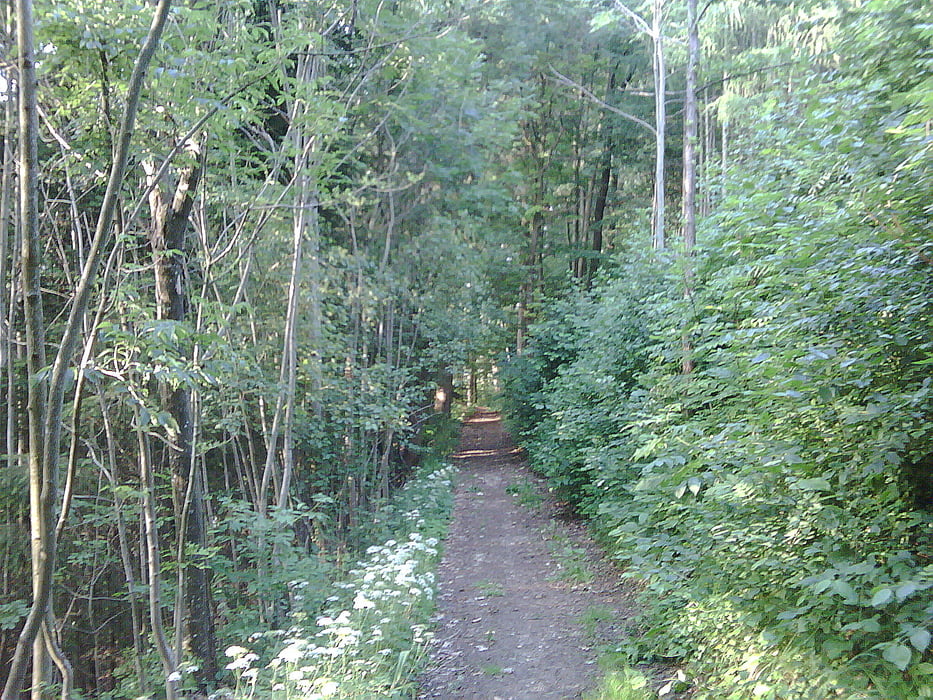
Der Asphaltanteil hat sich aber leider auf ca 30% erhöht.

Würde mich über eine Bewertung freuen.

viel Spaß biem Nachfahren.

Tour map and elevation profile

  • Open Street Map
  • Google
Minimum height 311 m Maximum height 385 m Detailed view

More about the tour author

hknmi
Member since 2006

Send private message

Comments

hknmi on 29.04.2012

auch

heuer wieder gut zu fahren.

GPS tracks

Trackpoints
  • GPX / Garmin Map Source (gpx) download
  • TCX / Garmin Training Center® (tcx) download
  • CRS / Garmin Training Center® (crs) download
  • Google Earth (kml) download
  • G7ToWin (g7t) download
  • TTQV (trk) download
  • Overlay (ovl) download
  • Fugawi (txt) download
  • Kompass (DAV) Track (tk) download
  • Track data sheet (pdf) download
  • Original file of the author (gpx) download

More about the tour author

hknmi
Member since 2006

Send private message
Share track
Add to my favorites
Remove from my favorites
Edit tags
My score
Rate
Track: Thalheim Ottstorf Runde v2
Type: Mountain bike
Distance: 18,4 km
Evaluated on:
Duration:
Day(s)
Hour(s)
Minute(s)
Score: Landscape Fun factor Fitness Technique