


Sehr schöne MTB Tour teils auf dem Rothaarsteig von Burbach um die Fuchskaute.
Stationen:
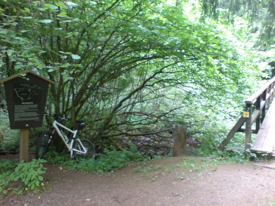
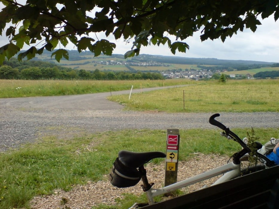
Burbach - Neumarktstr. - Wasserhäuschen - über Höhe - Abfahrt nach Lützeln - Aufstieg zum Sportplatz Lützeln - Kao Lin Bergwerk Lützeln - Siegerland Flughafen - Liebenscheid - Dreiländereck - Fuchskaute - Ketzerstein und wieder über Lützteln zurück.
Sehr schöne Tour eines Asphaltverweigerers
Tour gallery
Tour map and elevation profile
Minimum height 394 m
Maximum height 648 m
More about the tour author
|
|
Sejerlenner |
Comments

57299 Burbach Parkplatz Braache - Hochstraße an der Landhausklinik.
GPS tracks
Trackpoints-
GPX / Garmin Map Source (gpx) download
-
TCX / Garmin Training Center® (tcx) download
-
CRS / Garmin Training Center® (crs) download
-
Google Earth (kml) download
-
G7ToWin (g7t) download
-
TTQV (trk) download
-
Overlay (ovl) download
-
Fugawi (txt) download
-
Kompass (DAV) Track (tk) download
-
Track data sheet (pdf) download
-
Original file of the author (gpx) download
More about the tour author
|
|
Sejerlenner |
Add to my favorites
Remove from my favorites
Edit tags
Open track
My score
Rate