Login

Forgot your login?

Cookies have to be accepted!
Your browser's cookie functionality is disabled. Please enable this functionality.

Not a member yet?

Register now
Login

Available for registred users only

Log in to use this feature.

Forgot your login?

Cookies have to be accepted!
Your browser's cookie functionality is disabled. Please enable this functionality.

Not a member yet?

Register now
Filter
Categories
Advanced filters
  • Distance (km)
  • Height
Save filters Reset filter

TrackRank

QRCode

Technical data

Distance27,7 km Height374 m Way down372 m Duration02:49 h:m Date29.06.2009
Scores Author Landscape Fun factor Fitness Technique

Statistics

72 Views Scores 11 Downloads Average
Rate
  • Track data sheet
  • Directions
  • Downloads
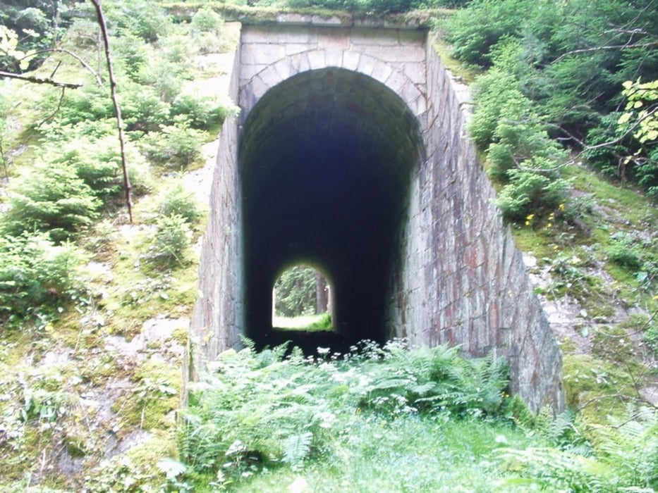
Tak jsem to jel prověřit do Plesný a hledat ten tunel, kterej tam údajně vyděli ašáci. Jediné co jsem našel bylo zase veliké klíště.  Z toho plyne i moje předsevzetí do dalších let a to, že se nechám naočkovat proti klíštové chřipce :)

Tour gallery

Tour map and elevation profile

  • Open Street Map
  • Google
Minimum height 491 m Maximum height 605 m Detailed view

More about the tour author

marapara

Comments

Start v Lubech

GPS tracks

Trackpoints
  • GPX / Garmin Map Source (gpx) download
  • TCX / Garmin Training Center® (tcx) download
  • CRS / Garmin Training Center® (crs) download
  • Google Earth (kml) download
  • G7ToWin (g7t) download
  • TTQV (trk) download
  • Overlay (ovl) download
  • Fugawi (txt) download
  • Kompass (DAV) Track (tk) download
  • Track data sheet (pdf) download
  • Original file of the author (gpx) download

More about the tour author

marapara

Share track
Add to my favorites
Remove from my favorites
Edit tags
My score
Rate
Track: Plesna
Type: Mountain bike
Distance: 27,7 km
Evaluated on:
Duration:
Day(s)
Hour(s)
Minute(s)
Score: Landscape Fun factor Fitness Technique