Login

Forgot your login?

Cookies have to be accepted!
Your browser's cookie functionality is disabled. Please enable this functionality.

Not a member yet?

Register now
Login

Available for registred users only

Log in to use this feature.

Forgot your login?

Cookies have to be accepted!
Your browser's cookie functionality is disabled. Please enable this functionality.

Not a member yet?

Register now
Filter
Categories
Advanced filters
  • Distance (km)
  • Height
Save filters Reset filter

TrackRank

QRCode

Technical data

Distance31,1 km Height498 m Way down463 m Duration00:00 h:m Date02.07.2009
Scores Author Landscape Fun factor Fitness Technique

Statistics

674 Views Scores 151 Downloads Average
Rate
  • Track data sheet
  • Directions
  • Downloads
Los geht´s in Umkirch über den Mundenhof nach St. Georgen. 
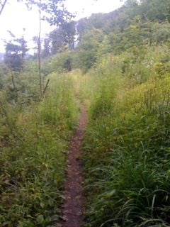
Hier geht´s dann bergauf bis zum Gipfel. Leichte Runde zum relaxen.
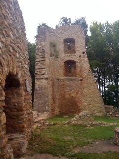
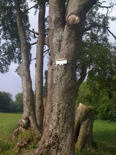
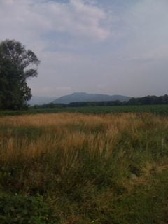
Tour gallery

Tour map and elevation profile

  • Open Street Map
  • Google
Minimum height 182 m Maximum height 643 m Detailed view

More about the tour author

kitom
Member since 2009

Send private message

Comments

GPS tracks

Trackpoints
  • GPX / Garmin Map Source (gpx) download
  • TCX / Garmin Training Center® (tcx) download
  • CRS / Garmin Training Center® (crs) download
  • Google Earth (kml) download
  • G7ToWin (g7t) download
  • TTQV (trk) download
  • Overlay (ovl) download
  • Fugawi (txt) download
  • Kompass (DAV) Track (tk) download
  • Track data sheet (pdf) download
  • Original file of the author (gpx) download

More about the tour author

kitom
Member since 2009

Send private message
Share track
Add to my favorites
Remove from my favorites
Edit tags
My score
Rate
Track: Schönbergtour
Type: Mountain bike
Distance: 31,1 km
Evaluated on:
Duration:
Day(s)
Hour(s)
Minute(s)
Score: Landscape Fun factor Fitness Technique