Login

Forgot your login?

Cookies have to be accepted!
Your browser's cookie functionality is disabled. Please enable this functionality.

Not a member yet?

Register now
Login

Available for registred users only

Log in to use this feature.

Forgot your login?

Cookies have to be accepted!
Your browser's cookie functionality is disabled. Please enable this functionality.

Not a member yet?

Register now
Filter
Categories
Advanced filters
  • Distance (km)
  • Height
Save filters Reset filter

TrackRank

QRCode

Technical data

Distance54,6 km Height981 m Way down970 m Duration05:00 h:m Date03.07.2009
Scores Author User Landscape Fun factor Fitness Technique

Statistics

734 Views 2 Scores 148 Downloads 4.50 Average
Rate
  • Track data sheet
  • Directions
  • Downloads

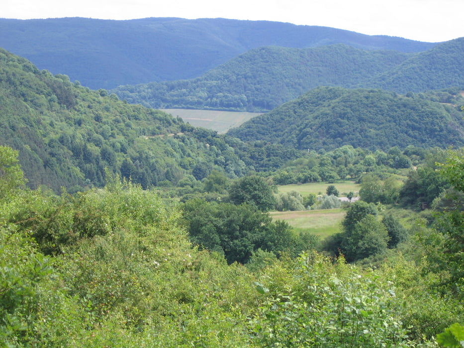
Eine schöneTour die alles bietet: Waldwege, Trails, schweres Gelände und Feldwegeund mit Glück Rehe, Hirche und Wildschweine.Nicht immer einfach durch schwer  zu fahrende Waldwege.

Tour map and elevation profile

  • Open Street Map
  • Google
Minimum height 215 m Maximum height 432 m Detailed view

More about the tour author

rororo
Member since 2008

Send private message

Comments

oestrum on 29.04.2011

Vischeltal-Steinbachtalsperre

Ich bin die Tour an Ostern gefahren - sehr schön. Die Beschreibung stimmt bis hin zu den Wildschweinen :-). Vielen Dank für den Track!!

Peter
Guennae on 30.09.2011

Tour

Bin die Tour gestern gefahren, herrlich, das Wetter, die Wege und Trails, kurzum, alles hat gepasst.
die4bagus on 13.09.2020

Tour

Am 23.09.2020 diese Tour bei schönstem Wetter gefahren. Sehr schöne Passagen mit wenig Straße und einigen schönen Singletrails.

Ab Rheinbach - Wormersdorf/ Parkplatz Sportplatz 


GPS tracks

Trackpoints
  • GPX / Garmin Map Source (gpx) download
  • TCX / Garmin Training Center® (tcx) download
  • CRS / Garmin Training Center® (crs) download
  • Google Earth (kml) download
  • G7ToWin (g7t) download
  • TTQV (trk) download
  • Overlay (ovl) download
  • Fugawi (txt) download
  • Kompass (DAV) Track (tk) download
  • Track data sheet (pdf) download
  • Original file of the author (gpx) download

More about the tour author

rororo
Member since 2008

Send private message
Share track
Add to my favorites
Remove from my favorites
Edit tags
My score
Rate
Track: Vischeltal und Steinbachtalsperre
Type: Mountain bike
Distance: 54,6 km
Evaluated on:
Duration:
Day(s)
Hour(s)
Minute(s)
Score: Landscape Fun factor Fitness Technique