


Schöne MTB Tour mit ein paar Höhenmetern.
Es geht los in Burbach, Parkplatz Landhausklinik, Hochstraße
- Expert Klein
- durch den Wald auf die Höhe Burbach - Gilsbach
- über Gilsbacher Ferienhäusern zum Sportplatz
- hinunter nach Wilden
- hinauf Richtung Eisern
- auf der Höhe zum Rasthof Wilnsdorf (Burger King)
- vorbei am Landeskroner Weiher
- zäher Aufstieg auf den Donnerhain (Dynamit Fabrik Würgendorf)
- hinunter nach Würgendorf, an der Kirche vorbei.
- Nun den letzten Berg hoch: vorbei am Skilift zur Kaserne.
- Dann noch eine kleine Entspannungsrunde um die Burg und über
- Naturschutzgebiet in der Gambach zurück zum Ausgangspunkt
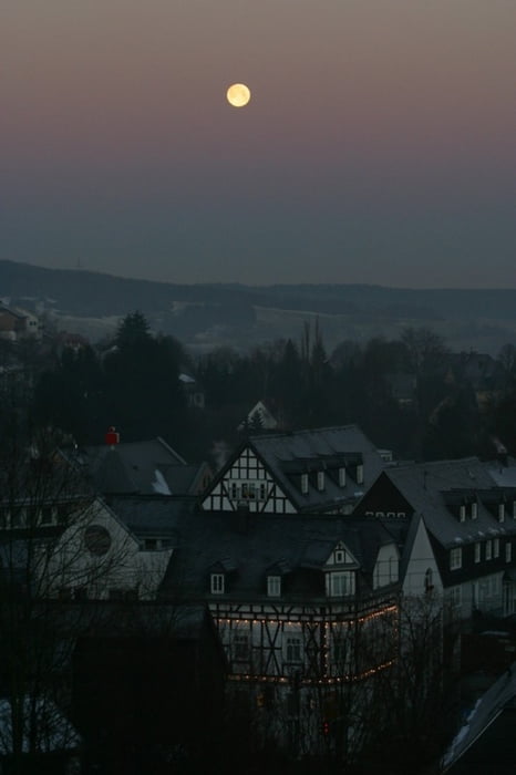
Tour gallery
Tour map and elevation profile
Minimum height 321 m
Maximum height 574 m
More about the tour author
|
|
Sejerlenner |
Comments

Es geht los in Burbach, Parkplatz Landhausklinik, Hochstraße
GPS tracks
Trackpoints-
GPX / Garmin Map Source (gpx) download
-
TCX / Garmin Training Center® (tcx) download
-
CRS / Garmin Training Center® (crs) download
-
Google Earth (kml) download
-
G7ToWin (g7t) download
-
TTQV (trk) download
-
Overlay (ovl) download
-
Fugawi (txt) download
-
Kompass (DAV) Track (tk) download
-
Track data sheet (pdf) download
-
Original file of the author (gpx) download
More about the tour author
|
|
Sejerlenner |
Add to my favorites
Remove from my favorites
Edit tags
Open track
My score
Rate