


Tour beginnt in Hinterriss am Wanderparkplatz.
Man fährt dann ein kleines Stück zurück bis kurz vor der Rissbachbrücke und dann
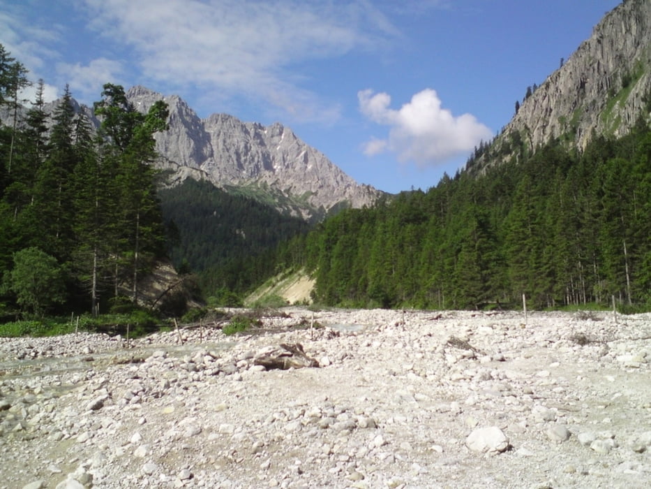
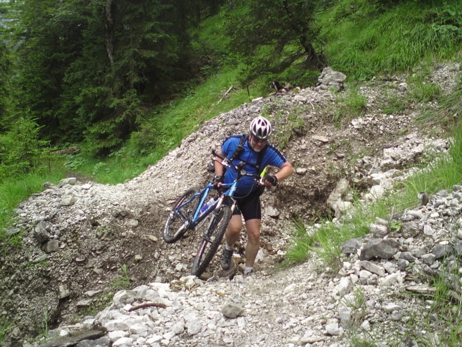
links hoch zur Fereinalm. Nach ca. 350hm und einer flotten Abfahrt muss ein Bach überquert werden, manchmal gelingt das mit trockenen Füssen, wir mussten die Radschuhe ausziehen.
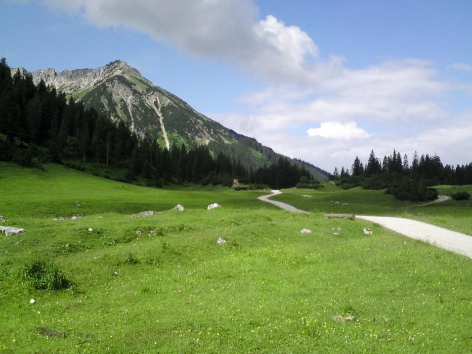
Danach geht eine schöne aber steile Forststrasse auf die Fereinalm dann hinunter bis Krün und wieder hoch zur Fichbachalm.
Kurz nach der Fischbachalm, beginnt ein schöner Singletrail mit 4 kleineren Hinternissen, bis wieder eine Forststrasse hinunter ins Rissbachtal führt.
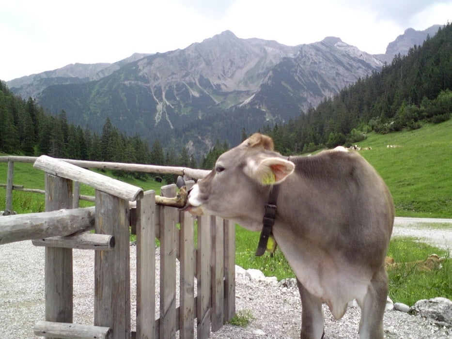
Die Fotos sind wie immer von Robert.
Tour gallery
Tour map and elevation profile
Minimum height 832 m
Maximum height 1433 m
More about the tour author

|
bmwmai |
Comments

GPS tracks
Trackpoints-
GPX / Garmin Map Source (gpx) download
-
TCX / Garmin Training Center® (tcx) download
-
CRS / Garmin Training Center® (crs) download
-
Google Earth (kml) download
-
G7ToWin (g7t) download
-
TTQV (trk) download
-
Overlay (ovl) download
-
Fugawi (txt) download
-
Kompass (DAV) Track (tk) download
-
Track data sheet (pdf) download
-
Original file of the author (gpx) download
More about the tour author
|
|
bmwmai |
Add to my favorites
Remove from my favorites
Edit tags
Open track
My score
Rate