


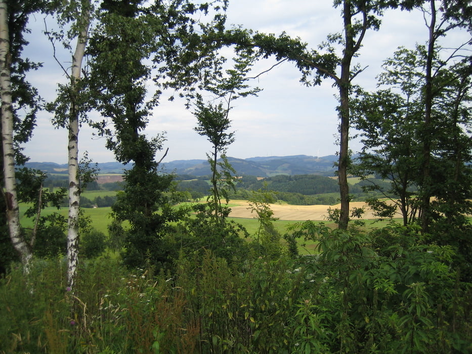
Rundweg um das schöne Repetal. Wir starten im Bundesgolddorf 2010 Niederhelden. Der Weg ist mit "R" gekennzeichnet, ideal auch zum Wandern. Die Tour kann jederzeit auch verkürzt werden, es führen zahlreiche Wege zurück ins (Repe)Tal.
Das GPS Höhenprofil ist nicht ganz richtig, wir starten auf ca. 280m, die max. Höhe beträgt ca. 515m.
Further information at
http://www.niederhelden.de/Tour gallery
Tour map and elevation profile
Minimum height 244 m
Maximum height 722 m
More about the tour author
|
|
Harti_68 |
Comments

Aufgrund der zentralen Lage würde ich Attendorn-Niederhelden als Startpunkt empfehlen.
GPS tracks
Trackpoints-
GPX / Garmin Map Source (gpx) download
-
TCX / Garmin Training Center® (tcx) download
-
CRS / Garmin Training Center® (crs) download
-
Google Earth (kml) download
-
G7ToWin (g7t) download
-
TTQV (trk) download
-
Overlay (ovl) download
-
Fugawi (txt) download
-
Kompass (DAV) Track (tk) download
-
Track data sheet (pdf) download
-
Original file of the author (gpx) download
More about the tour author
|
|
Harti_68 |
Add to my favorites
Remove from my favorites
Edit tags
Open track
My score
Rate