Login

Forgot your login?

Cookies have to be accepted!
Your browser's cookie functionality is disabled. Please enable this functionality.

Not a member yet?

Register now
Login

Available for registred users only

Log in to use this feature.

Forgot your login?

Cookies have to be accepted!
Your browser's cookie functionality is disabled. Please enable this functionality.

Not a member yet?

Register now
Filter
Categories
Advanced filters
  • Distance (km)
  • Height
Save filters Reset filter

TrackRank

QRCode

Technical data

Distance30,8 km Height1064 m Way down942 m Duration00:00 h:m Date08.07.2009
Scores Author Landscape Fun factor Fitness Technique

Statistics

840 Views Scores 153 Downloads Average
Rate
  • Track data sheet
  • Directions
  • Downloads

From Airolo (Caseificio)  to Ronco on the valley road.

From Ronco to Alpe Cristallina and Pesciüm gravel road or path

From Pesciüm to Nante and Airolo road
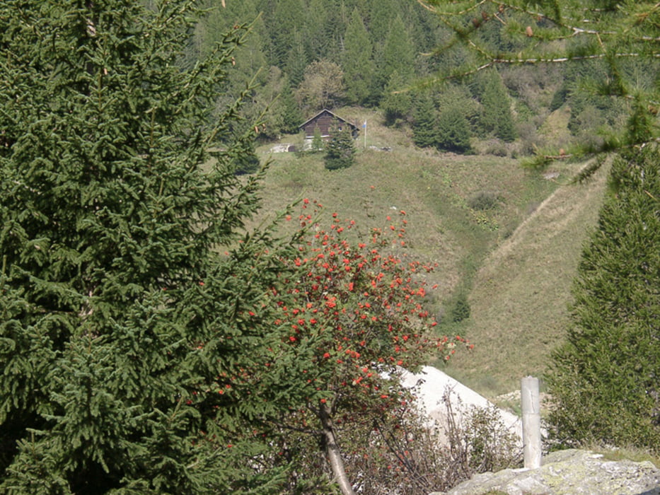
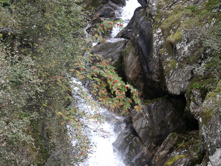
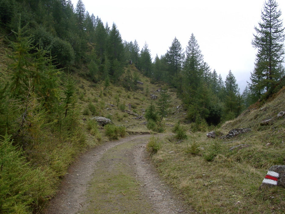
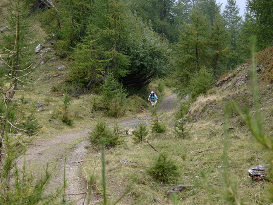
Tour gallery

Tour map and elevation profile

  • Open Street Map
  • Google
Minimum height 1078 m Maximum height 1897 m Detailed view

More about the tour author

mitich61
Member since 2009

Send private message

Comments

From S: Bellinzona - Biasca - Airolo

From N: Luzern - Göschenen - Gotthard Tunnel (or Pass) - Airolo

GPS tracks

Trackpoints
  • GPX / Garmin Map Source (gpx) download
  • TCX / Garmin Training Center® (tcx) download
  • CRS / Garmin Training Center® (crs) download
  • Google Earth (kml) download
  • G7ToWin (g7t) download
  • TTQV (trk) download
  • Overlay (ovl) download
  • Fugawi (txt) download
  • Kompass (DAV) Track (tk) download
  • Track data sheet (pdf) download
  • Original file of the author (gpx) download

More about the tour author

mitich61
Member since 2009

Send private message
Share track
Add to my favorites
Remove from my favorites
Edit tags
My score
Rate
Track: Valle Bedretto - giro degli Alpi
Type: Mountain bike
Distance: 30,8 km
Evaluated on:
Duration:
Day(s)
Hour(s)
Minute(s)
Score: Landscape Fun factor Fitness Technique