


Start und Ziel ist der Waldparkplatz am Mickhauser Berg.
Die Strecke führt zunächst den Hochweg entlang bis Döpshofen. Dort wird die Schwarzach überquert. Nach leichtem auf und ab bis zur Kreuzung Weiherhof, geht es zum erstenmal länger bergauf zum Hochweg. Etwa Kilometer weiter zweigt der Weg zum nahen Engelshof ab.
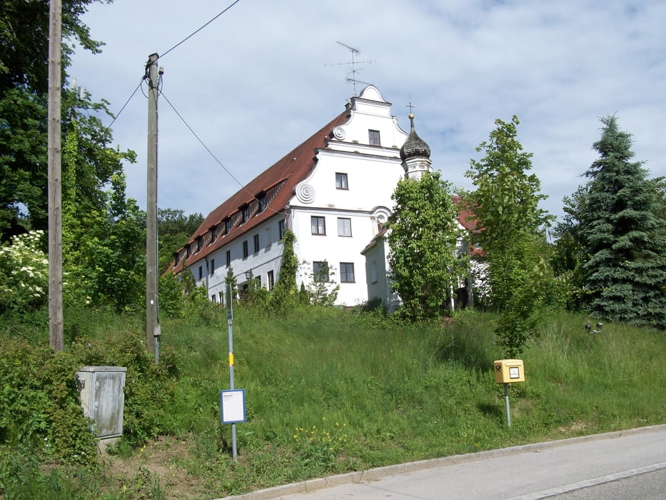
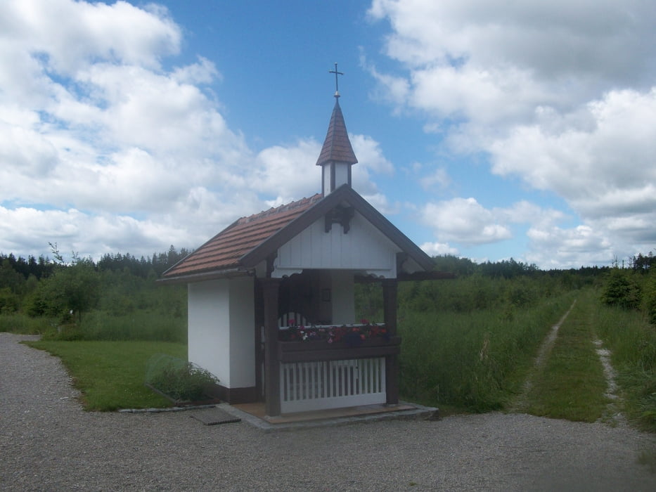
Vom Engelshof führt die Route zunächst über eine steile Rampe am Waldanfang wiederum zu einem Hochweg nach Reinhardshausen . Nun geht es auf der Landstraße Richtung Waldberg. An einer Senke wird links in einen Waldweg abgebogen, der nach vielen Richtungswechseln über die Justinakapelle nach Klimmach führt.
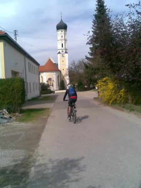
Auf einer Nebenstraße mit Gefällstrecke (20%) geht hinunter nach Birkach und in der Ortmitte gleich wieder hoch zum Waldrand Richtung Konradshofen.
Auf leicht gewelltem Feld- und Waldweg geht es zum Ausgangspunkt zurück.
Tour gallery
Tour map and elevation profile
Minimum height 508 m
Maximum height 615 m
More about the tour author
|
|
Staudenbiker |
Comments

GPS tracks
Trackpoints-
GPX / Garmin Map Source (gpx) download
-
TCX / Garmin Training Center® (tcx) download
-
CRS / Garmin Training Center® (crs) download
-
Google Earth (kml) download
-
G7ToWin (g7t) download
-
TTQV (trk) download
-
Overlay (ovl) download
-
Fugawi (txt) download
-
Kompass (DAV) Track (tk) download
-
Track data sheet (pdf) download
-
Original file of the author (gpx) download
More about the tour author
|
|
Staudenbiker |
Add to my favorites
Remove from my favorites
Edit tags
Open track
My score
Rate