Login

Forgot your login?

Cookies have to be accepted!
Your browser's cookie functionality is disabled. Please enable this functionality.

Not a member yet?

Register now
Login

Available for registred users only

Log in to use this feature.

Forgot your login?

Cookies have to be accepted!
Your browser's cookie functionality is disabled. Please enable this functionality.

Not a member yet?

Register now
Filter
Categories
Advanced filters
  • Distance (km)
  • Height
Save filters Reset filter

TrackRank

QRCode

Technical data

Distance46,6 km Height1014 m Way down981 m Duration03:00 h:m Date17.06.2006
Scores Author Landscape Fun factor Fitness Technique

Statistics

7477 Views 2 Scores 1022 Downloads 3.50 Average
Rate
  • Track data sheet
  • Directions
  • Downloads
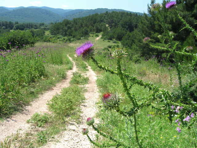
Herrliche Tour abseits der Hauptstrasse auf Schotter- und Forststrassen auf den höchsten Punkt des Foresta Umbra. Sehr empfehlenswert an heißen Sommertagen, da man hauptsächlich im Schatten der Bäume des Forest Umbra fährt. Nur anfangs durchquert man almenähnliches Gelände mit freier Sicht auf die Küste. Zum Schluß eine 20 km lange rasante Abfahrt auf einer Asphalt - Strasse zur Küste.

Tour gallery

Tour map and elevation profile

  • Open Street Map
  • Google
Minimum height 3 m Maximum height 814 m Detailed view

More about the tour author

Elias Laar
Member since 2006

Send private message

Comments

scotti on 13.11.2006

Gargano Foresta Umbra

Oben beim Kiosk im Foresta Umbra nicht die Teerstraße ins Tal nehmen, sondern den rot markierten Weg Nr.3.Geht links vom Kiosk in den Wald. Man erreicht kurz oberhalb des Landhauses Caritate bei hm 250 die Teerstraße.
Walter Ehgartner on 17.07.2009

Sehr schöne Tour. 50% auf Forstwegen. Sehr zu empfehlen.
Beginn am Campingplatz "Holiday"an der Küstenstrasse, ca. 12 km von Vieste nach Peschici.

GPS tracks

Trackpoints
  • GPX / Garmin Map Source (gpx) download
  • TCX / Garmin Training Center® (tcx) download
  • CRS / Garmin Training Center® (crs) download
  • Google Earth (kml) download
  • G7ToWin (g7t) download
  • TTQV (trk) download
  • Overlay (ovl) download
  • Fugawi (txt) download
  • Kompass (DAV) Track (tk) download
  • Track data sheet (pdf) download
  • Original file of the author (g7t) download

More about the tour author

Elias Laar
Member since 2006

Send private message
Share track
Add to my favorites
Remove from my favorites
Edit tags
My score
Rate
Track: Gargano 03
Type: Mountain bike
Distance: 46,6 km
Evaluated on:
Duration:
Day(s)
Hour(s)
Minute(s)
Score: Landscape Fun factor Fitness Technique