Login

Forgot your login?

Cookies have to be accepted!
Your browser's cookie functionality is disabled. Please enable this functionality.

Not a member yet?

Register now
Login

Available for registred users only

Log in to use this feature.

Forgot your login?

Cookies have to be accepted!
Your browser's cookie functionality is disabled. Please enable this functionality.

Not a member yet?

Register now
Filter
Categories
Advanced filters
  • Distance (km)
  • Height
Save filters Reset filter

TrackRank

QRCode

Technical data

Distance24,1 km Height957 m Way down968 m Duration02:30 h:m Date12.07.2009
Scores Author Landscape Fun factor Fitness Technique

Statistics

982 Views Scores 238 Downloads Average
Rate
  • Track data sheet
  • Directions
  • Downloads

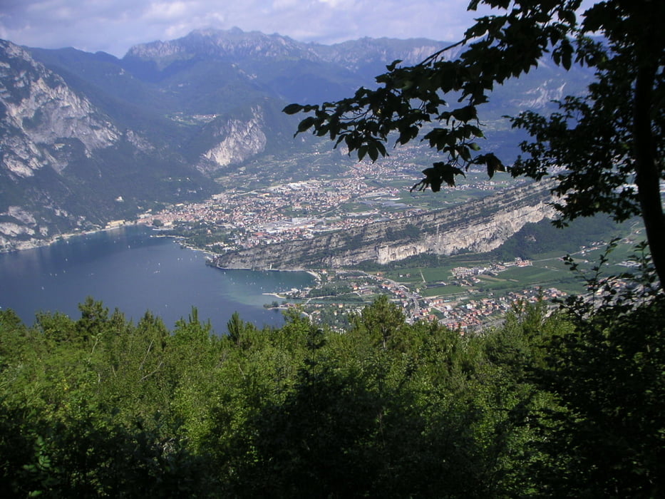
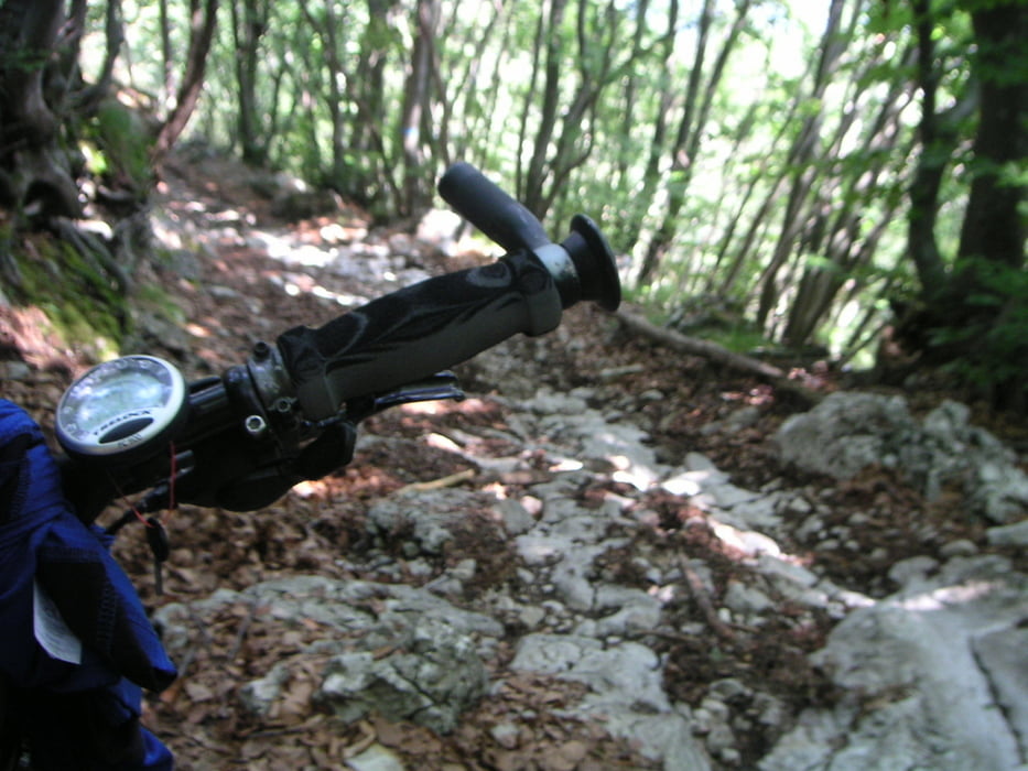
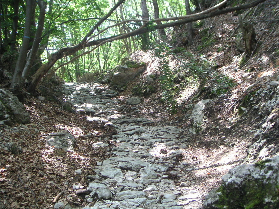
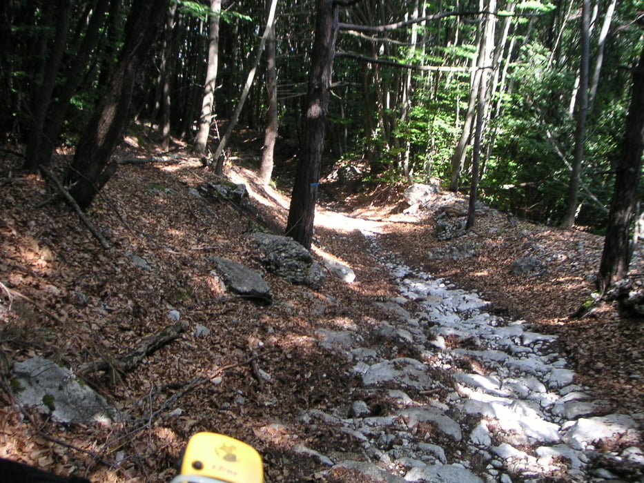
kurztest des legendären 601'er Downhill (nur ca. 250 hm).

Der 601'er ist der wahnsinn, kein vergleich mit rappeneckdownhill im schwarzwald, wer die kennt.

Der track ist nicht nachbearbietet, also vorher am pc nachbearbeiten.
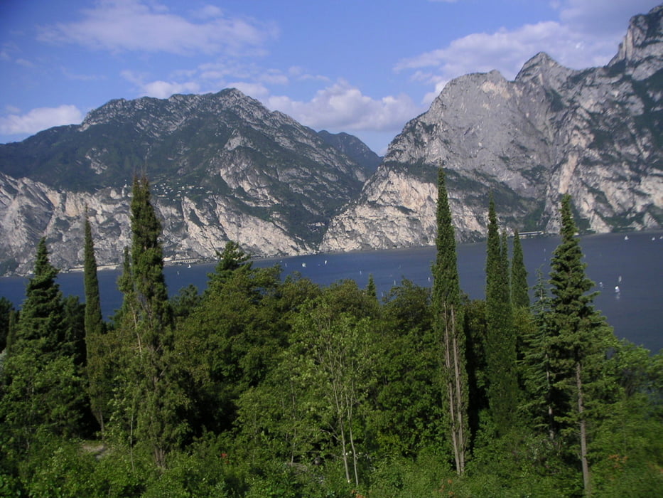
Tour gallery

Tour map and elevation profile

  • Open Street Map
  • Google
Minimum height 63 m Maximum height 1022 m Detailed view

More about the tour author

winorg
Member since 2007

Send private message

Comments

GPS tracks

Trackpoints
  • GPX / Garmin Map Source (gpx) download
  • TCX / Garmin Training Center® (tcx) download
  • CRS / Garmin Training Center® (crs) download
  • Google Earth (kml) download
  • G7ToWin (g7t) download
  • TTQV (trk) download
  • Overlay (ovl) download
  • Fugawi (txt) download
  • Kompass (DAV) Track (tk) download
  • Track data sheet (pdf) download
  • Original file of the author (gpx) download

More about the tour author

winorg
Member since 2007

Send private message
Share track
Add to my favorites
Remove from my favorites
Edit tags
My score
Rate
Track: kurztest downhill 601
Type: Mountain bike
Distance: 24,1 km
Evaluated on:
Duration:
Day(s)
Hour(s)
Minute(s)
Score: Landscape Fun factor Fitness Technique