Login

Forgot your login?

Cookies have to be accepted!
Your browser's cookie functionality is disabled. Please enable this functionality.

Not a member yet?

Register now
Login

Available for registred users only

Log in to use this feature.

Forgot your login?

Cookies have to be accepted!
Your browser's cookie functionality is disabled. Please enable this functionality.

Not a member yet?

Register now
Filter
Categories
Advanced filters
  • Distance (km)
  • Height
Save filters Reset filter

TrackRank

QRCode

Technical data

Distance20,8 km Height360 m Way down357 m Duration01:15 h:m Date13.07.2009
Scores Author Landscape Fun factor Fitness Technique

Statistics

443 Views 1 Score 108 Downloads 2.00 Average
Rate
  • Track data sheet
  • Directions
  • Downloads

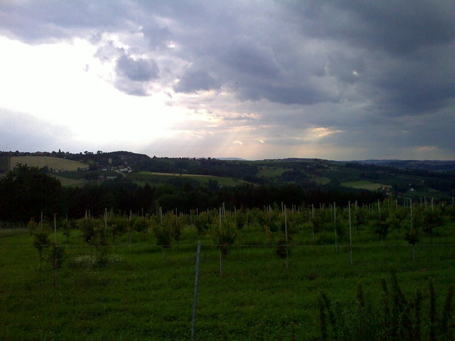
Eine kurze, nicht übermäßig anspruchsvolle Runde, die einige schöne Schotterpassagen, tw. auch Single Trails, zu bieten hat. Auch wenn Asphalt nicht ganz vermieden werden kann, so fährt man dann nur auf wenig befahrenen Nebenstrassen.

Die Tour kann auch mit einigen schönen Panoramen punkten.

Tour map and elevation profile

  • Open Street Map
  • Google
Minimum height 270 m Maximum height 460 m Detailed view

More about the tour author

damaxx
Member since 2009

Send private message

Comments

GPS tracks

Trackpoints
  • GPX / Garmin Map Source (gpx) download
  • TCX / Garmin Training Center® (tcx) download
  • CRS / Garmin Training Center® (crs) download
  • Google Earth (kml) download
  • G7ToWin (g7t) download
  • TTQV (trk) download
  • Overlay (ovl) download
  • Fugawi (txt) download
  • Kompass (DAV) Track (tk) download
  • Track data sheet (pdf) download
  • Original file of the author (gpx) download

More about the tour author

damaxx
Member since 2009

Send private message
Share track
Add to my favorites
Remove from my favorites
Edit tags
My score
Rate
Track: Rund um Forst
Type: Mountain bike
Distance: 20,8 km
Evaluated on:
Duration:
Day(s)
Hour(s)
Minute(s)
Score: Landscape Fun factor Fitness Technique