
")

Start und Ziel am Campingplatz "Les Pins" in Les Salles-sur Verdon am Lac de Ste Croix.
Auf der D 957 zum Pont de Galetas (Mündung des Verdon in den Lac de Ste Croix).
Die Fahrt nach Moustiers-Sainte-Marie führt teilweise parallel zur Straße durch Wald und Feld.
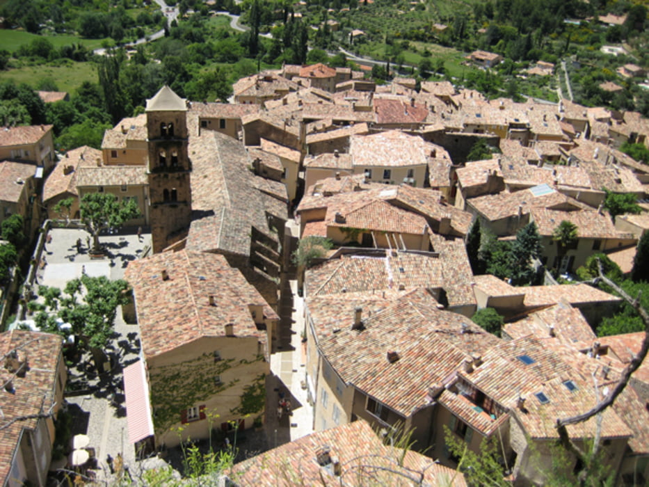
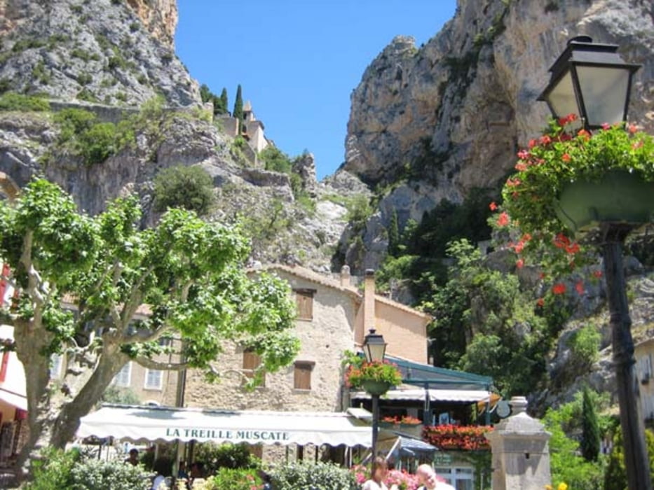
Besichtigung von Moustiers und Aufstieg zur Kapelle (sehr schön).
Rückfahrt über den Campingplatz Maynasse und dieselbe Strecke entlang dem smaragdgrünen See zum Campingplatz „Les Pins“.
Auf der D 957 zum Pont de Galetas (Mündung des Verdon in den Lac de Ste Croix).
Die Fahrt nach Moustiers-Sainte-Marie führt teilweise parallel zur Straße durch Wald und Feld.
Besichtigung von Moustiers und Aufstieg zur Kapelle (sehr schön).
Rückfahrt über den Campingplatz Maynasse und dieselbe Strecke entlang dem smaragdgrünen See zum Campingplatz „Les Pins“.
Tour gallery
Tour map and elevation profile
Minimum height 484 m
Maximum height 748 m
More about the tour author
|
|
haelge |
Comments

GPS tracks
Trackpoints-
GPX / Garmin Map Source (gpx) download
-
TCX / Garmin Training Center® (tcx) download
-
CRS / Garmin Training Center® (crs) download
-
Google Earth (kml) download
-
G7ToWin (g7t) download
-
TTQV (trk) download
-
Overlay (ovl) download
-
Fugawi (txt) download
-
Kompass (DAV) Track (tk) download
-
Track data sheet (pdf) download
-
Original file of the author (gpx) download
More about the tour author
|
|
haelge |
Add to my favorites
Remove from my favorites
Edit tags
Open track
My score
Rate