


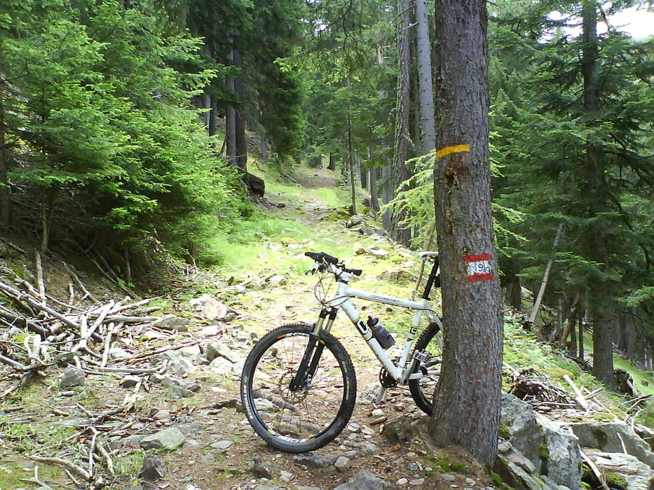
Start ist in Naturns am Sportzentrum (großer Parkplatz). Wir radeln gemütlich am Vinschgauer Radweg flußauswärts bis kurz vor Kastelbell. Dort links abbiegen und bergan über Latschinig, Freiberg vorbei an der Freiberger Säge bis zur Marzoner Alm.Hinter der Alm den Weg Nr. 9 bergab bis zu einer Wildfütterung dann rechts halten auf eine Forststrasse. Kurz bergab bis zur nächsten Forststrasse und dann rechts bergauf bis zur Tablander Alm. Hinter der Alm den Almenweg Nr 4 Richtung Frantschalm ( Mausloch Alm ), am Anfang noch fahrbar dann ist leider schieben und tragen angesagt. Von der Frantschalm den Forstweg bergab Richtung Parkplatz Kreuzbrünnl. Wer will kann hier noch zur Naturnser Alm hochfahren. ( Bei mir eine andere Tour) . Ab Parkplatz immer bergab bis nach Naturns zum Ausgangspunkt.( Ps. ich hab meine Touren alle auf 500 Punkte reduziert, hab die Touren auch mit voller Punktezahl für die die sie möchten)
Tour gallery
Tour map and elevation profile
Minimum height 534 m
Maximum height 1843 m
More about the tour author
|
|
corsair |
Comments

GPS tracks
Trackpoints-
GPX / Garmin Map Source (gpx) download
-
TCX / Garmin Training Center® (tcx) download
-
CRS / Garmin Training Center® (crs) download
-
Google Earth (kml) download
-
G7ToWin (g7t) download
-
TTQV (trk) download
-
Overlay (ovl) download
-
Fugawi (txt) download
-
Kompass (DAV) Track (tk) download
-
Track data sheet (pdf) download
-
Original file of the author (gpx) download
More about the tour author
|
|
corsair |
Add to my favorites
Remove from my favorites
Edit tags
Open track
My score
Rate