


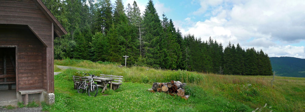
Kurze Tour von Bernau/Dorf mit Start am Gasthof Bergblick. Von dort geht's sofort bergauf bis 1km vor der Krunkelbachhütte. Nach der Hütte geht's bergab bis nach Menzenschwand. Dort das Tal vor bis zur Strasse nach Bernau, diese überqueren und im Wald rechts halten.
Bei Unterlehen ist der Wald zu Ende und man kann gemütlich dem Radweg an der Bernauer Alb entlang zurück folgen.
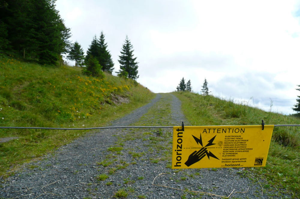
Die Tour war leider sehr naß und feucht. Es gibt im Wald nach der ersten Hütte einige Schiebepassagen, die sicher auch trocken eine Herausforderung sind.
Ab der Krunkelbachhütte Downhill und weiter entspannte Fahrerei.
Alles in allem eine nette Sonntagnachmittagstour.
Länge: ca. 25 km
Gesamtzeit / Fahrzeit: 2h 25min / 1h 55 min
Gesamtschnitt / Fahrschnitt: 10 km/h / 13 km/h
Highspeed: 64 km/h
Höhenmeter (bergauf): ca. 600 m
max. Höhe: 1320 m. ü. NN
Bin die Tour am 19.07.2009 gefahren.
Tour gallery

Tour map and elevation profile
Minimum height 844 m
Maximum height 1328 m
More about the tour author
|
|
nib |
Comments

Von Höchenschwand mit dem Auto nach Bernau Dorf zum Gasthof Bergblick.
GPS tracks
Trackpoints-
GPX / Garmin Map Source (gpx) download
-
TCX / Garmin Training Center® (tcx) download
-
CRS / Garmin Training Center® (crs) download
-
Google Earth (kml) download
-
G7ToWin (g7t) download
-
TTQV (trk) download
-
Overlay (ovl) download
-
Fugawi (txt) download
-
Kompass (DAV) Track (tk) download
-
Track data sheet (pdf) download
-
Original file of the author (gpx) download
More about the tour author
|
|
nib |
Add to my favorites
Remove from my favorites
Edit tags
Open track
My score
Rate