


Ein nette kleine Feierabend Runde mit kleinen Trails !
Further information at
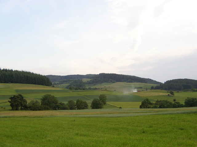
http://www.mtb-angelburg.deTour gallery
Tour map and elevation profile
Minimum height 345 m
Maximum height 537 m
More about the tour author

|
Comments

A45 Abfahrt Herbon Süd,Richtung Herbon Schnellstraße
danach Richtung Steffenberg. Nieder und Oberscheld ,- Hirzenhain Bahnhof ,- Lixfeld ,- Frechnhausen ,- Gönnern zweite Straße rechts über die Brücke 150m geradeaus zum Feuerwehrhaus.
danach Richtung Steffenberg. Nieder und Oberscheld ,- Hirzenhain Bahnhof ,- Lixfeld ,- Frechnhausen ,- Gönnern zweite Straße rechts über die Brücke 150m geradeaus zum Feuerwehrhaus.
GPS tracks
Trackpoints-
GPX / Garmin Map Source (gpx) download
-
TCX / Garmin Training Center® (tcx) download
-
CRS / Garmin Training Center® (crs) download
-
Google Earth (kml) download
-
G7ToWin (g7t) download
-
TTQV (trk) download
-
Overlay (ovl) download
-
Fugawi (txt) download
-
Kompass (DAV) Track (tk) download
-
Track data sheet (pdf) download
-
Original file of the author (gpx) download
More about the tour author
|
|
Add to my favorites
Remove from my favorites
Edit tags
Open track
My score
Rate