
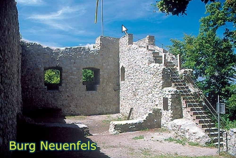

Schöne Rundtour, von Buggingen über Britzingen und die Schwärze auf die Burgruine Neuenfels. Von dort weiter auf einer kurzen Abfahrt zum Kohlplatz und wider bergauf um dann auf einem schönen Singeltrail zum Sattelplatz zu gelangen.
Danach folgt eine Abfahrt auf breiten Forstwegen, welche später in einen schönen Singeltrail übergeht und dann in Sulzburg endet.
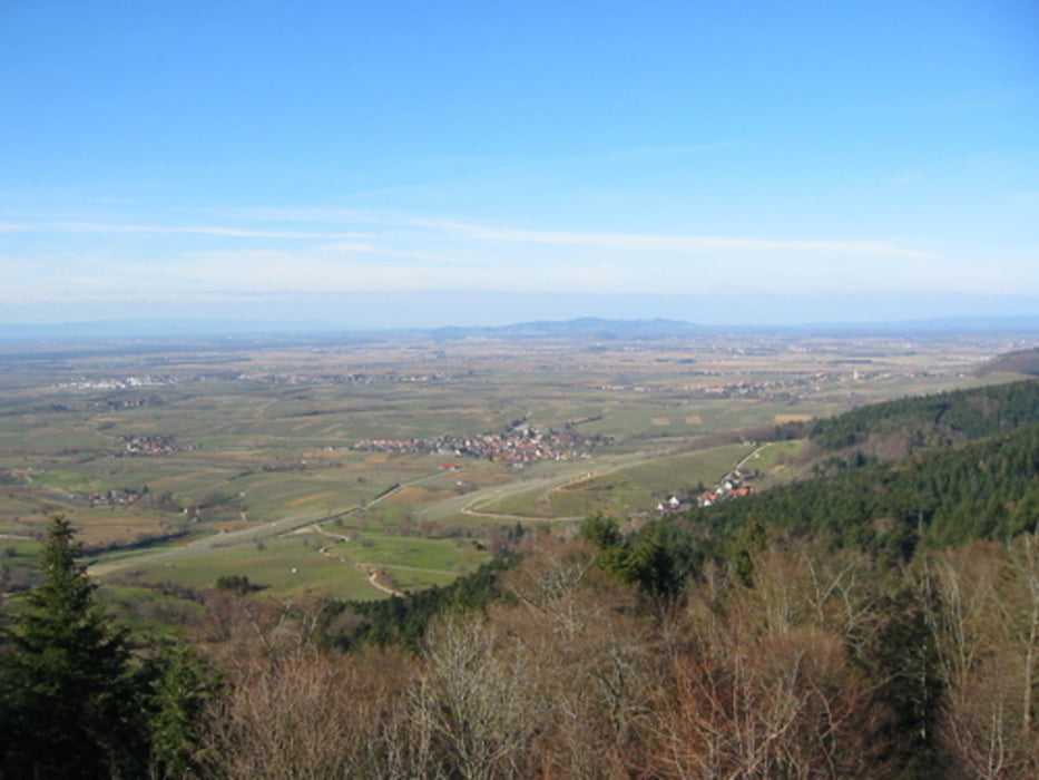
Von dort durch Felder und über den Radweg zurück nach Buggingen
Tour gallery
Tour map and elevation profile
Minimum height 167 m
Maximum height 742 m
More about the tour author

|
tuneit |
Comments

GPS tracks
Trackpoints-
GPX / Garmin Map Source (gpx) download
-
TCX / Garmin Training Center® (tcx) download
-
CRS / Garmin Training Center® (crs) download
-
Google Earth (kml) download
-
G7ToWin (g7t) download
-
TTQV (trk) download
-
Overlay (ovl) download
-
Fugawi (txt) download
-
Kompass (DAV) Track (tk) download
-
Track data sheet (pdf) download
-
Original file of the author (gpx) download
More about the tour author
|
|
tuneit |
Add to my favorites
Remove from my favorites
Edit tags
Open track
My score
Rate