Login

Forgot your login?

Cookies have to be accepted!
Your browser's cookie functionality is disabled. Please enable this functionality.

Not a member yet?

Register now
Login

Available for registred users only

Log in to use this feature.

Forgot your login?

Cookies have to be accepted!
Your browser's cookie functionality is disabled. Please enable this functionality.

Not a member yet?

Register now
Filter
Categories
Advanced filters
  • Distance (km)
  • Height
Save filters Reset filter

TrackRank

QRCode

Technical data

Distance19,9 km Height452 m Way down449 m Duration01:40 h:m Date21.07.2009
Scores Author Landscape Fun factor Fitness Technique

Statistics

491 Views 1 Score 78 Downloads 3.00 Average
Rate
  • Track data sheet
  • Directions
  • Downloads
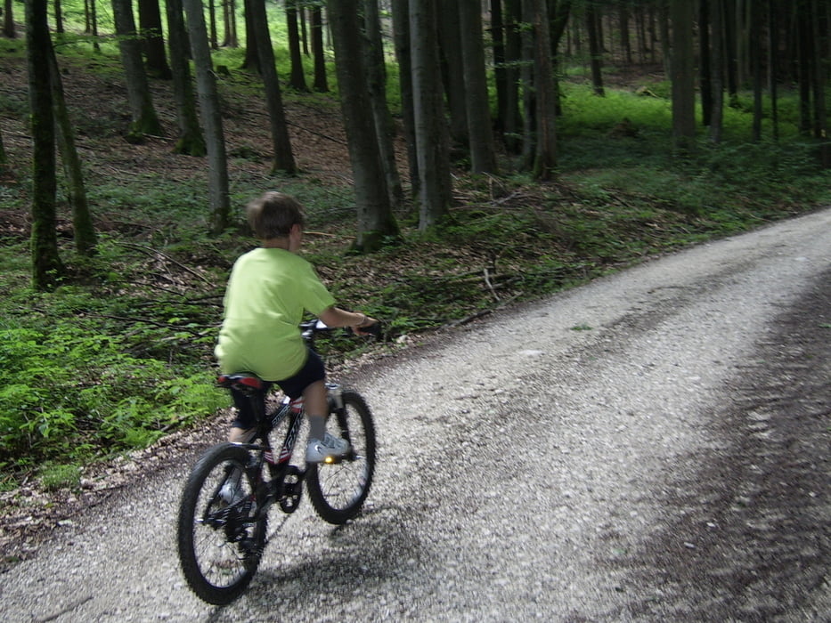
Kleine Runde mit auf und ab über tolle Wnderwege. Weitere Infos zu Touren in der Region in unseren Shop in Seewalchen am Attersee www.atterbike.at

Tour map and elevation profile

  • Open Street Map
  • Google
Minimum height 503 m Maximum height 739 m Detailed view

More about the tour author

atterbike
Member since 2009

Send private message

Comments

GPS tracks

Trackpoints
  • GPX / Garmin Map Source (gpx) download
  • TCX / Garmin Training Center® (tcx) download
  • CRS / Garmin Training Center® (crs) download
  • Google Earth (kml) download
  • G7ToWin (g7t) download
  • TTQV (trk) download
  • Overlay (ovl) download
  • Fugawi (txt) download
  • Kompass (DAV) Track (tk) download
  • Track data sheet (pdf) download
  • Original file of the author (gpx) download

More about the tour author

atterbike
Member since 2009

Send private message
Share track
Add to my favorites
Remove from my favorites
Edit tags
My score
Rate
Track: Sunset Trail
Type: Mountain bike
Distance: 19,9 km
Evaluated on:
Duration:
Day(s)
Hour(s)
Minute(s)
Score: Landscape Fun factor Fitness Technique