
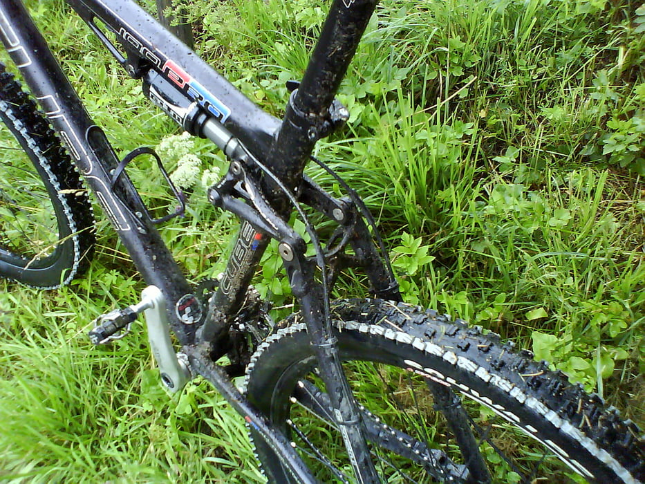

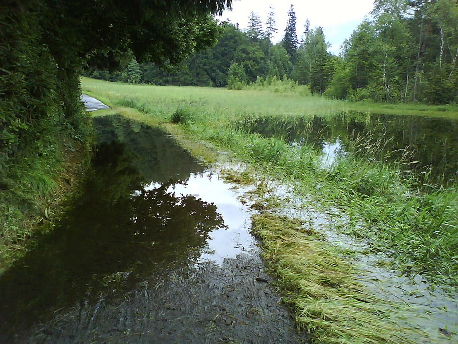
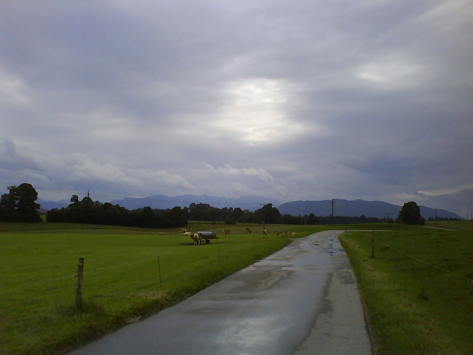
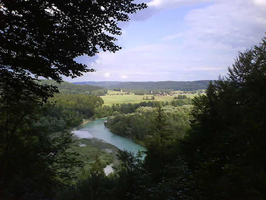
Abgewandelte Kirchsee-Tour mit Rückweg über Bad Tölz und Wolfratshausen/Icking. Am Kirchsee angekommen öffnete der Himmel seine Schleusen. Nachdem meine Schuhe dann auch noch vollgelaufen waren habe ich mich für den Rückweg über Bad Tölz entschieden. In Bad Tölz angekommen bin ich noch weiter bis nach Wolfratshausen und weiter nach Icking gefahren. Dort habe ich die S-Bahn zurück nach München genommen. Das hatte ich mir anders vorgestellt. Ein spitzen Sommer 2009
Tour gallery

Tour map and elevation profile
Minimum height 504 m
Maximum height 733 m
More about the tour author
|
|
dub73 |
Comments

GPS tracks
Trackpoints-
GPX / Garmin Map Source (gpx) download
-
TCX / Garmin Training Center® (tcx) download
-
CRS / Garmin Training Center® (crs) download
-
Google Earth (kml) download
-
G7ToWin (g7t) download
-
TTQV (trk) download
-
Overlay (ovl) download
-
Fugawi (txt) download
-
Kompass (DAV) Track (tk) download
-
Track data sheet (pdf) download
-
Original file of the author (gpx) download
More about the tour author
|
|
dub73 |
Add to my favorites
Remove from my favorites
Edit tags
Open track
My score
Rate