


Auf den Spuren Von No Way Rey und Frischi hat es uns in das Bike-Eldorado Altarezia verschlagen.
Die Touren können mit Roadbook,etc für kleines Geld bei Bike-Gps.com erworben werden, allerdings nicht für Garmin-Geräte.
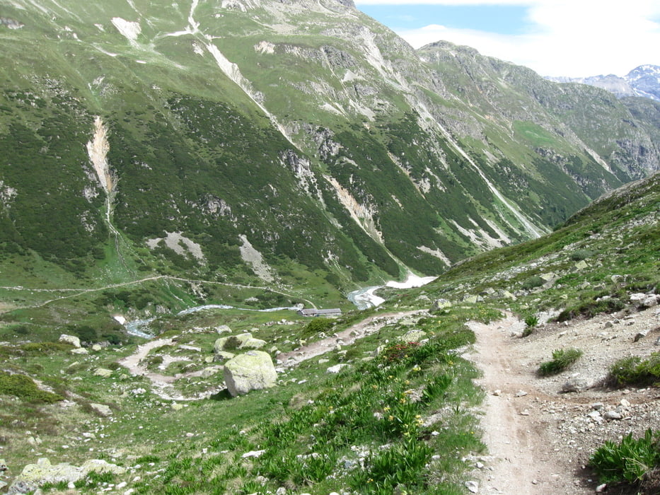
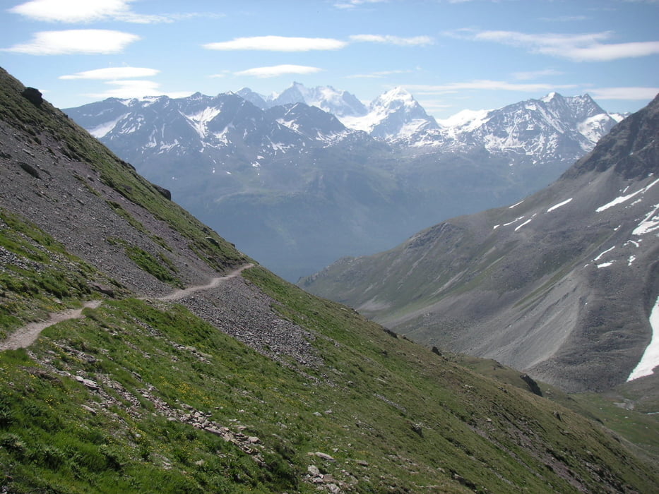
Wir haben uns dabei an den Original Routen orientiert, die aber teilw. nur für Reys&Co wirklich komplett fahrbar sind. Landschaftlich sind sie auf jeden Fall der Knaller! und wer meint, Downhill sei nicht anstrengend (wie ich vor der Tour) der irrt gewaltig! Downhill insgesamt an diesem Tag: rd. 1800 Hm.
Start in Celerina mit der Bergbahn Magurns. Dann kurzes steiles Stück bergauf bevor es in technisch anspruchsvolle (Singletrail map: schwarz) Abfahrt nach Breves geht, mit einigen Schiebepassagen für Normalbiker..
Danachmit der rätischen Bahn zum Hospitz Bernina (Super Ausgangspunkt für diverse Trails) und anschließend auf dem super flowigen Trail durch den Wald Richtung Pontresina. Genial!
Hatte leider auf der Fahrt mit der Bahn auch das Navi an, bitte nicht verwirren lassen...
Further information at
http://www.alta-rezia.comTour gallery
Tour map and elevation profile
Minimum height 1365 m
Maximum height 2685 m
More about the tour author
|
|
Bikeroldie |
Comments

GPS tracks
Trackpoints-
GPX / Garmin Map Source (gpx) download
-
TCX / Garmin Training Center® (tcx) download
-
CRS / Garmin Training Center® (crs) download
-
Google Earth (kml) download
-
G7ToWin (g7t) download
-
TTQV (trk) download
-
Overlay (ovl) download
-
Fugawi (txt) download
-
Kompass (DAV) Track (tk) download
-
Track data sheet (pdf) download
-
Original file of the author (gpx) download
More about the tour author
|
|
Bikeroldie |
Add to my favorites
Remove from my favorites
Edit tags
Open track
My score
Rate