


Wenn du in Hochkrimmel startest ,geht es zuerst über Silberleiten zum Sporthotel, dahinter beginnt eine einfache abfahrt nach unten Richtung Stausee,von dort wieder bergauf zur alten Paßstr. und zum Bergdorf Königsleiten auf Asphalt. Im Ort geht ein breiter Schotterweg Richtung Larmachalm,die auch im Sommer bewirtet ist. Manchmal spielt der Wirt selbst auf seinem Akkordeon. Dann gehts weiter den breiten Weg nach oben bis zur Bergstation Panorama Alm . Jetzt kannst du auf einem bequem zu Fahrenden Landweg mitten durch das Skigebiet nach Königsleiten zurückradeln. Dann geht es auf Asphalt wieder Richtung Passstraße bis zur Abzweigung nach Silberleiten; ein kurzer steiler Anstieg und du hast Silberleiten erreicht wo du nur noch auf gleicher Höhe nach Hochkrimmel radeln mußt.
Viel Spaß
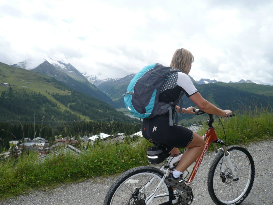
Tour gallery
Tour map and elevation profile
Minimum height 1382 m
Maximum height 2024 m
More about the tour author

|
linkpeter |
Comments

Über A12 Abfahrt Zillertal , bis Zell am Ziller , und den Gerloßpass hoch bis Hochkrimml.
Wer 7.- Euro sparen will kann gleich in Silberleiten starten.
GPS tracks
Trackpoints-
GPX / Garmin Map Source (gpx) download
-
TCX / Garmin Training Center® (tcx) download
-
CRS / Garmin Training Center® (crs) download
-
Google Earth (kml) download
-
G7ToWin (g7t) download
-
TTQV (trk) download
-
Overlay (ovl) download
-
Fugawi (txt) download
-
Kompass (DAV) Track (tk) download
-
Track data sheet (pdf) download
-
Original file of the author (gpx) download
More about the tour author
|
|
linkpeter |
Add to my favorites
Remove from my favorites
Edit tags
Open track
My score
Rate