


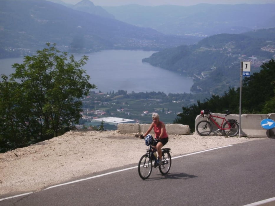
Herzstück dieser Panorama-Rundtour ist der Kaiserjägerweg, Abfahrt über Carbonare und S. Nicolo.
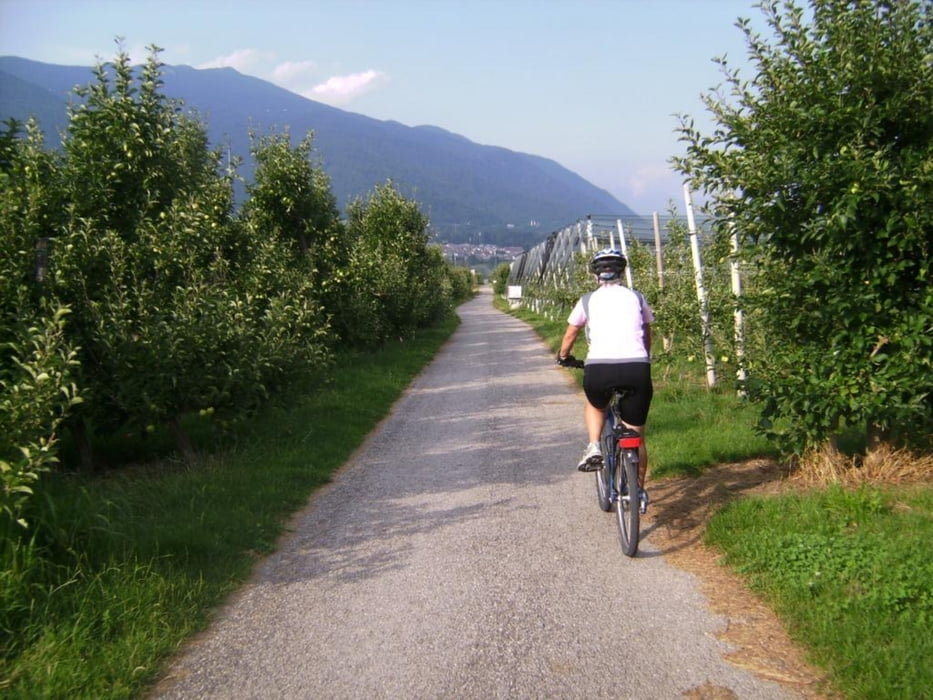
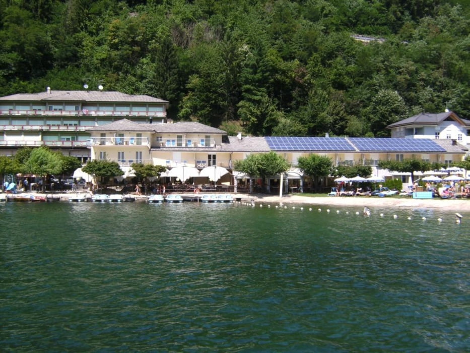
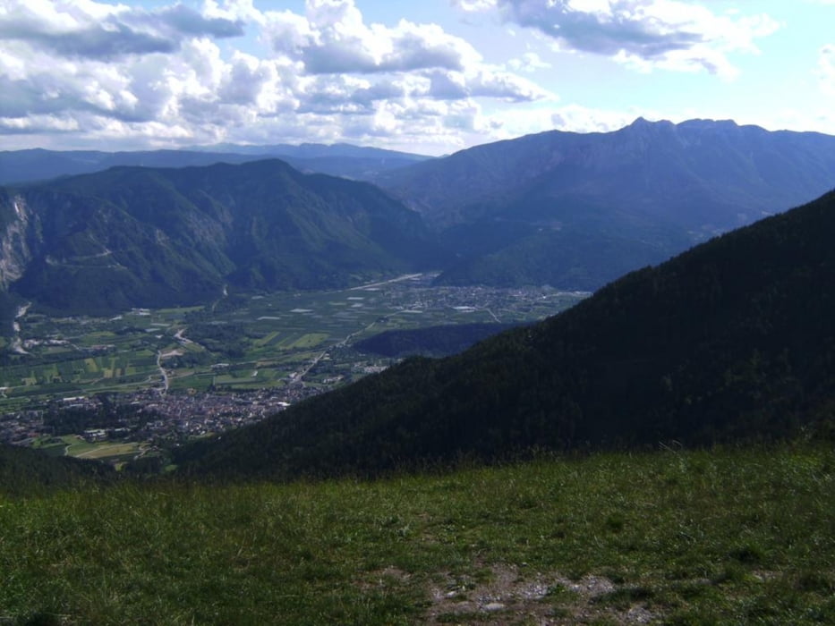
Beginn der Tourenaufzeichnung am Lago di Levico, im sehr empfehlenswerten und bezahlbaren Hotel Du Lac (siehe Link). Zuerst muß die Straße Trento –Padova gekreuzt werden, dann durch Lochere durch und zum Beginn des Kaiserjägerwegs. Dies ist eine geteerte, schmale Kriegsstraße mit erträglichem bis fast keinem Autoverkehr. Die Tiefblicke ins Valsugana mit dem Caldonazzosee auf der gesamten Auffahrt sind phantastisch. Am Sattel scharf rechts auf einer Schotterstraße weiterfahren, bis auf ca. 1350 m der höchste Punkt erreicht wird. Dann Abfahrt nach Lavarone, hier Einkehrmöglichkeiten. Weiter auf Teerstraßen nach Carbonara (wir fuhren eine MTB-Vatiante, würde sie auslassen) und dann durch ein neues Tunnel durch, sehr zu empfehlen ist dabei zumindest ein Rücklicht! Bei WP „Bar_Ristorante“ kann man gleich rechts abbiegen, wir fuhren auf der schöner SS 349 weiter zügig abwärts und bogen später nach San Nicolo rechts ab. Die Abfahrt durch dieses beeindruckende Tal und die anschließenden Obstgärten schließt die Runde ab.
Further information at
http://www.dulachotel.com/Tour gallery
Tour map and elevation profile
Minimum height 442 m
Maximum height 1348 m
More about the tour author
|
|
herzi |
Comments

Auf der Brenner-Autobahn nach Trento, Ausfahrt Trento-Nord. Dann Richtung Padua (Padova) bis nach dem Caldonazzosee
GPS tracks
Trackpoints-
GPX / Garmin Map Source (gpx) download
-
TCX / Garmin Training Center® (tcx) download
-
CRS / Garmin Training Center® (crs) download
-
Google Earth (kml) download
-
G7ToWin (g7t) download
-
TTQV (trk) download
-
Overlay (ovl) download
-
Fugawi (txt) download
-
Kompass (DAV) Track (tk) download
-
Track data sheet (pdf) download
-
Original file of the author (gpx) download
More about the tour author
|
|
herzi |
Add to my favorites
Remove from my favorites
Edit tags
Open track
My score
Rate