Login

Forgot your login?

Cookies have to be accepted!
Your browser's cookie functionality is disabled. Please enable this functionality.

Not a member yet?

Register now
Login

Available for registred users only

Log in to use this feature.

Forgot your login?

Cookies have to be accepted!
Your browser's cookie functionality is disabled. Please enable this functionality.

Not a member yet?

Register now
Filter
Categories
Advanced filters
  • Distance (km)
  • Height
Save filters Reset filter

TrackRank

QRCode

Technical data

Distance59,3 km Height1731 m Way down1741 m Duration04:22 h:m Date27.07.2009
Scores Author Landscape Fun factor Fitness Technique

Statistics

1542 Views Scores 215 Downloads Average
Rate
  • Track data sheet
  • Directions
  • Downloads

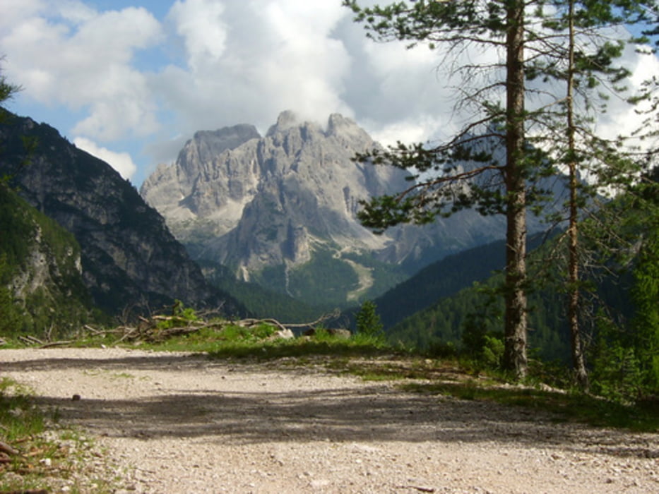
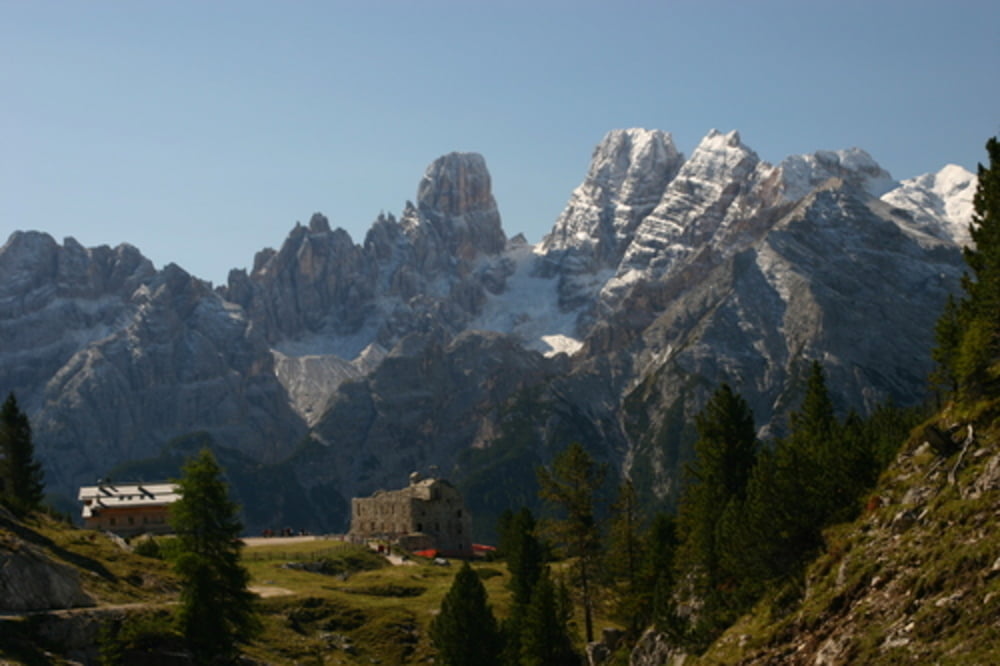
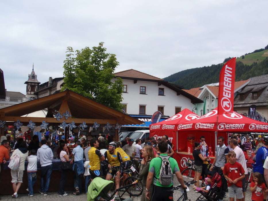
Dies ist die kleine Runde des 2009er Dolomiti Superbike. Es sind zwei oder drei kurze Singletrails dabei die aber für Marathon-Anfänger (wie ich einer bin) problemlos zu fahren sind. Der zweite Anstieg (zur Plätzwiese) ist schwierig zu fahren, meistens grober Schotter.

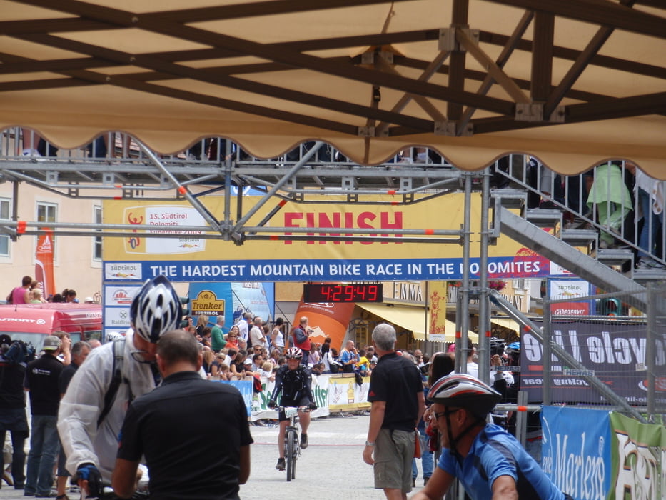
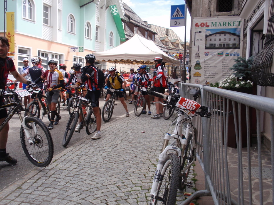
Den Marathon kann ich nur empfehlen. Super Landschaft, super Stimmung, super "Aftershowparty" :-)

weitere Streckeninfos unter aufgeführtem Link

Further information at

http://www.dolomitisuperbike.com

Tour gallery

Tour map and elevation profile

  • Open Street Map
  • Google
Minimum height 1146 m Maximum height 2006 m Detailed view

More about the tour author

scavenger
Member since 2008

Send private message

Comments

jernej on 29.06.2010

Strudelkopf

We started the tour in Villabassa but in the opposite direction and add it the climb to Strudelkopf. For descend we used trails 34 and 40 to Pratopiazza and then trail 18 (Val de Chenope) to the valley. Because of exposure is recommended to go some 10 meters altitude on foot, but not for the most skilled.
Really nice tour, beautiful landscape and joyful trails. We skipped the last part of the tour - the accents above Dobbiaco.
siehe www.dolomitisuperbike.com

GPS tracks

Trackpoints
  • GPX / Garmin Map Source (gpx) download
  • TCX / Garmin Training Center® (tcx) download
  • CRS / Garmin Training Center® (crs) download
  • Google Earth (kml) download
  • G7ToWin (g7t) download
  • TTQV (trk) download
  • Overlay (ovl) download
  • Fugawi (txt) download
  • Kompass (DAV) Track (tk) download
  • Track data sheet (pdf) download
  • Original file of the author (gpx) download

More about the tour author

scavenger
Member since 2008

Send private message
Share track
Add to my favorites
Remove from my favorites
Edit tags
My score
Rate
Track: Dolomiti Superbike 2009
Type: Mountain bike
Distance: 59,3 km
Evaluated on:
Duration:
Day(s)
Hour(s)
Minute(s)
Score: Landscape Fun factor Fitness Technique