Login

Forgot your login?

Cookies have to be accepted!
Your browser's cookie functionality is disabled. Please enable this functionality.

Not a member yet?

Register now
Login

Available for registred users only

Log in to use this feature.

Forgot your login?

Cookies have to be accepted!
Your browser's cookie functionality is disabled. Please enable this functionality.

Not a member yet?

Register now
Filter
Categories
Advanced filters
  • Distance (km)
  • Height
Save filters Reset filter

TrackRank

QRCode

Technical data

Distance42,0 km Height350 m Way down542 m Duration02:30 h:m Date28.07.2009
Scores Author Landscape Fun factor Fitness Technique

Statistics

489 Views Scores 74 Downloads Average
Rate
  • Track data sheet
  • Directions
  • Downloads
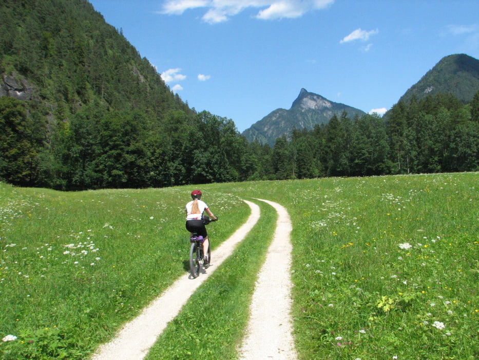
Hier haben wir eine Runde an der Salzach entlang gedreht, mit Abstecher nach Österreich. Schöne Routenführung, oft durch bewaldetes Gebiet, leider ein kurzes Stück an der Bundesstraße. Beginn und Ende war am Thumsee, dort haben wir auch danach gebadet, war aber ein extrem frisches Vergnügen! 

Tour map and elevation profile

  • Open Street Map
  • Google
Minimum height 475 m Maximum height 725 m Detailed view

More about the tour author

Ulli1962
Member since 2009

Send private message

Comments

GPS tracks

Trackpoints
  • GPX / Garmin Map Source (gpx) download
  • TCX / Garmin Training Center® (tcx) download
  • CRS / Garmin Training Center® (crs) download
  • Google Earth (kml) download
  • G7ToWin (g7t) download
  • TTQV (trk) download
  • Overlay (ovl) download
  • Fugawi (txt) download
  • Kompass (DAV) Track (tk) download
  • Track data sheet (pdf) download
  • Original file of the author (gpx) download

More about the tour author

Ulli1962
Member since 2009

Send private message
Share track
Add to my favorites
Remove from my favorites
Edit tags
My score
Rate
Track: Schneizlreuth / Salzachrunde
Type: Mountain bike
Distance: 42,0 km
Evaluated on:
Duration:
Day(s)
Hour(s)
Minute(s)
Score: Landscape Fun factor Fitness Technique