
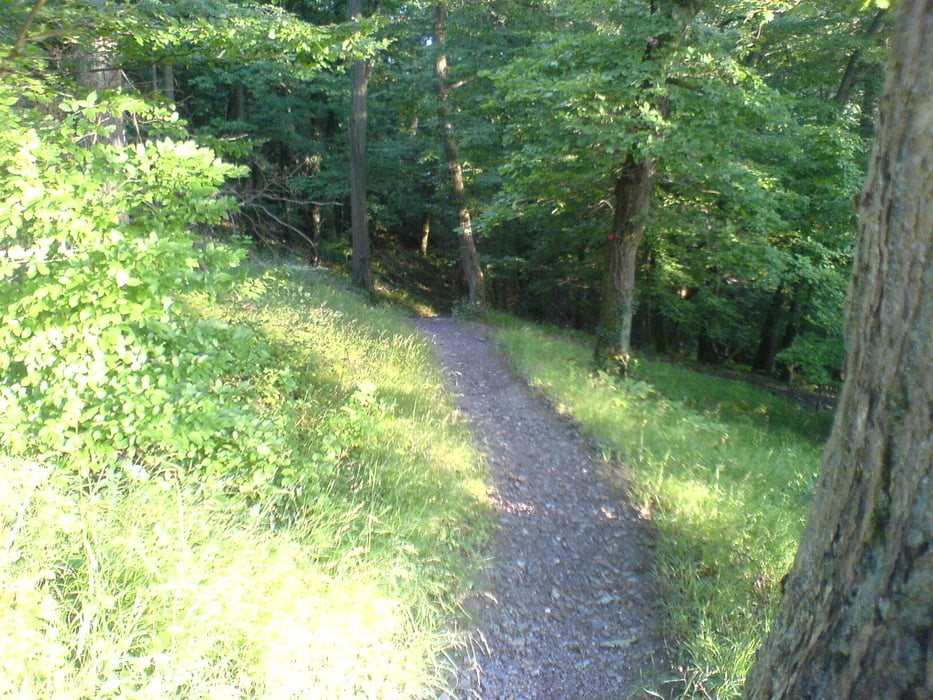

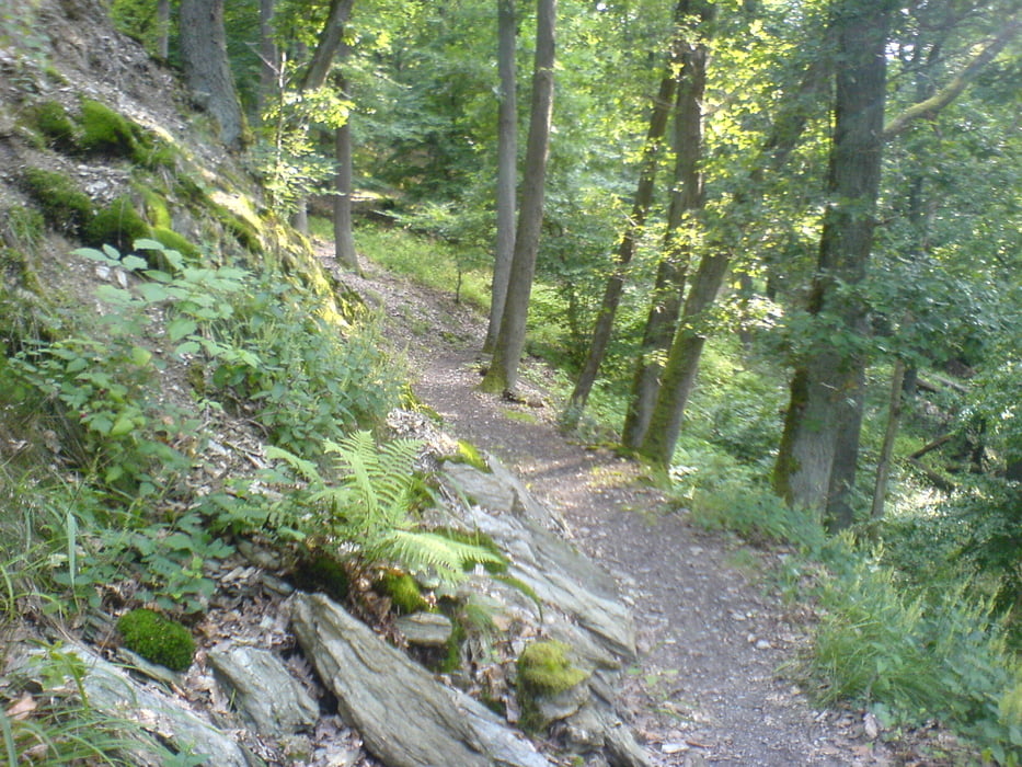
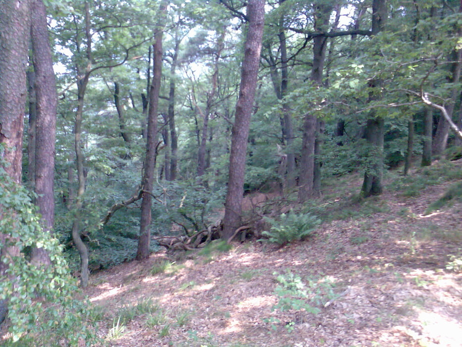
Feierabendrunde im schönen Schwarzwald, gestartet in der Kantstr. Parkplatz AKS Stiftung.
Man kann auch am Kupferhammer oder Waldkiga Parkplatz starten, Möglichkeiten gibt es gerade genug.
Würde aber empfehlen die Runde entgegen der Richtung die ich gefahren bin zu fahren, ab Charlottenhöhe zeichnet sich das aus ( schöner Downhill ).
Die Tour führt über Dillweißenstein, Salmach, Langenbrand, Schömberg, Calmbach , Retour.
Tour gallery
Tour map and elevation profile
Minimum height 48 m
Maximum height 695 m
More about the tour author
|
|
lapierre |
Comments

GPS tracks
Trackpoints-
GPX / Garmin Map Source (gpx) download
-
TCX / Garmin Training Center® (tcx) download
-
CRS / Garmin Training Center® (crs) download
-
Google Earth (kml) download
-
G7ToWin (g7t) download
-
TTQV (trk) download
-
Overlay (ovl) download
-
Fugawi (txt) download
-
Kompass (DAV) Track (tk) download
-
Track data sheet (pdf) download
-
Original file of the author (gpx) download
More about the tour author
|
|
lapierre |
Add to my favorites
Remove from my favorites
Edit tags
Open track
My score
Rate